
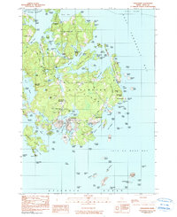
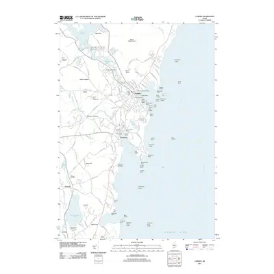
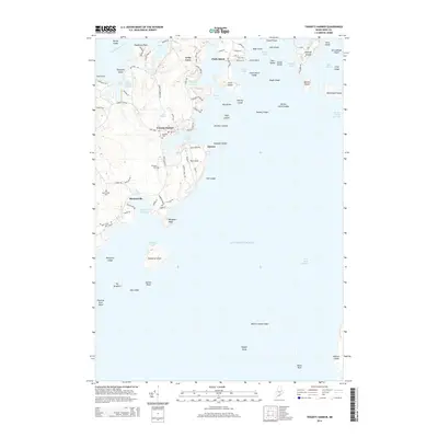
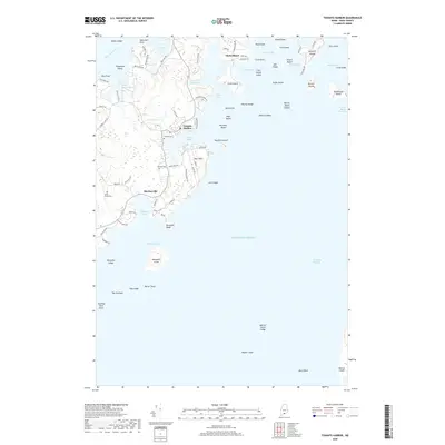
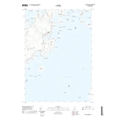
2024 Map of Tenants Harbor
USGS Topo · Published 2024About this map
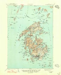
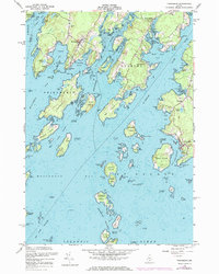
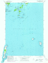
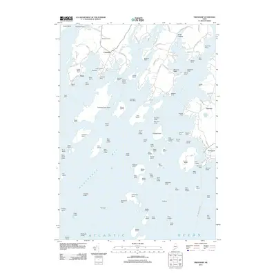
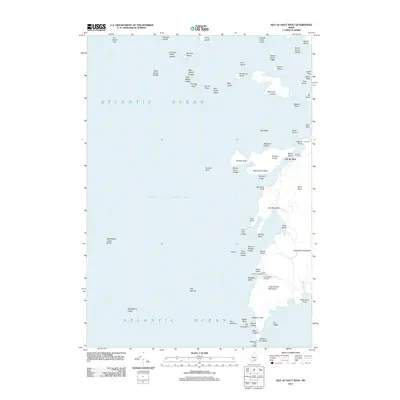
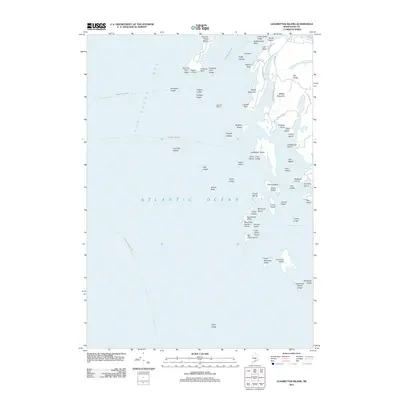
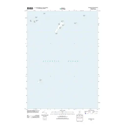
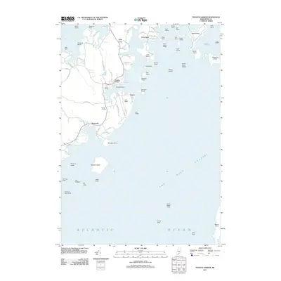
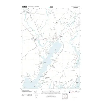
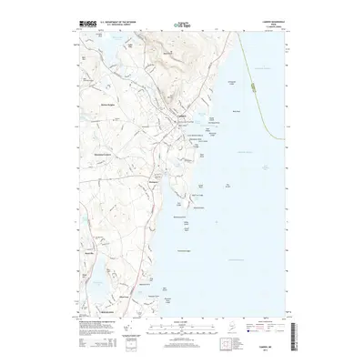
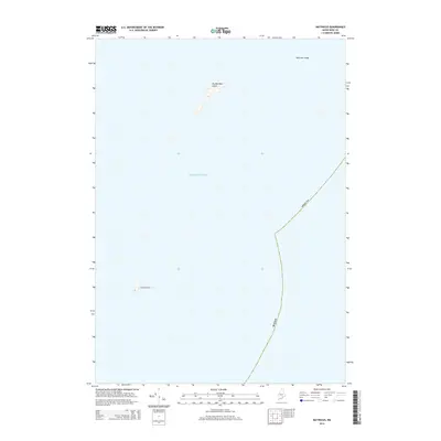
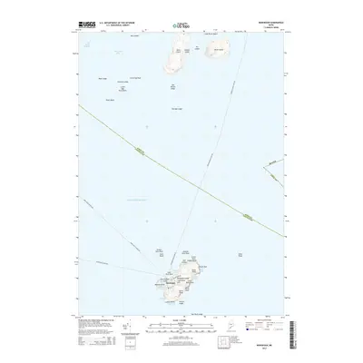
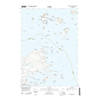
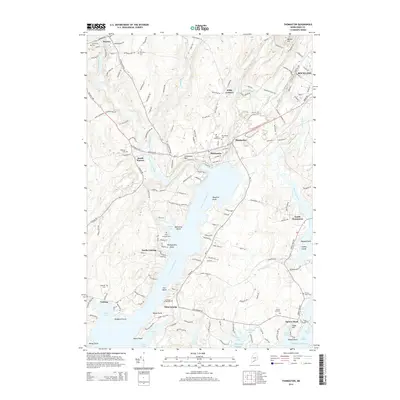
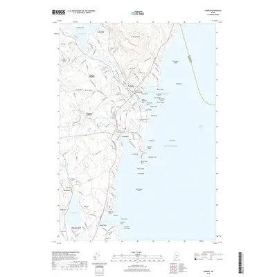
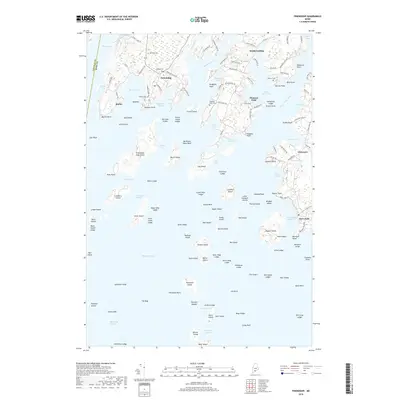
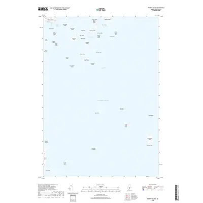
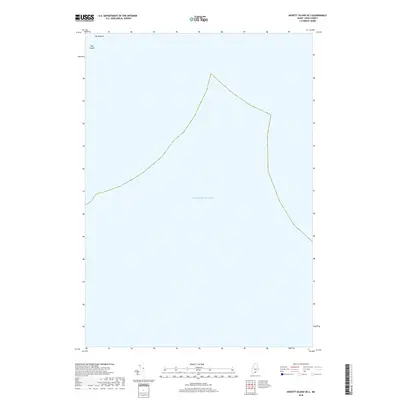
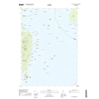
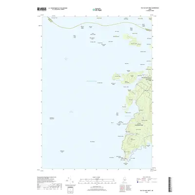
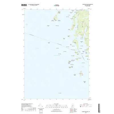
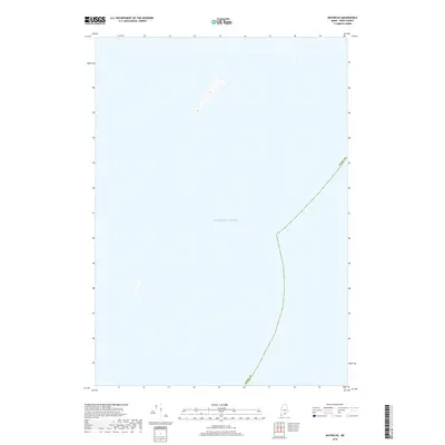
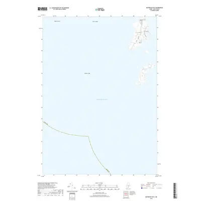
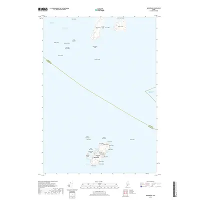
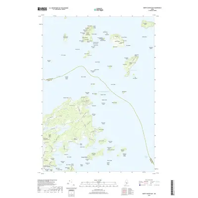
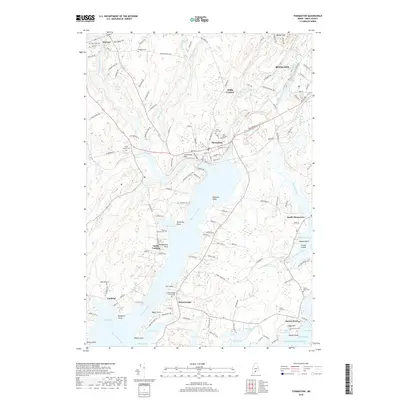
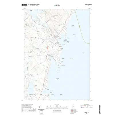
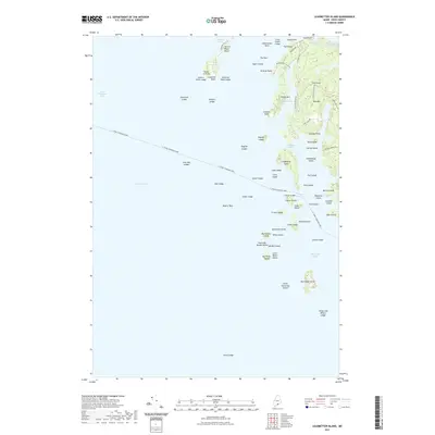
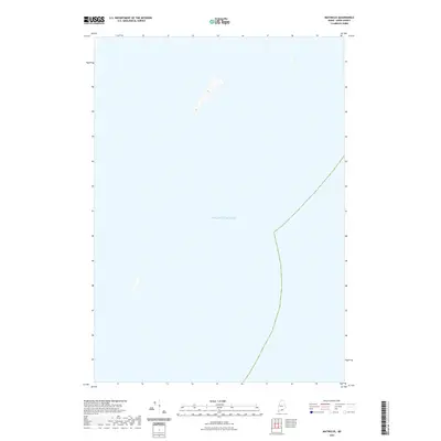
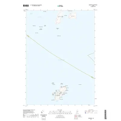
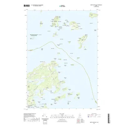
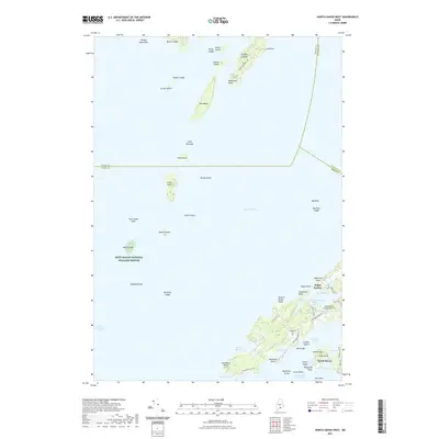
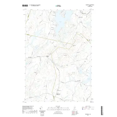
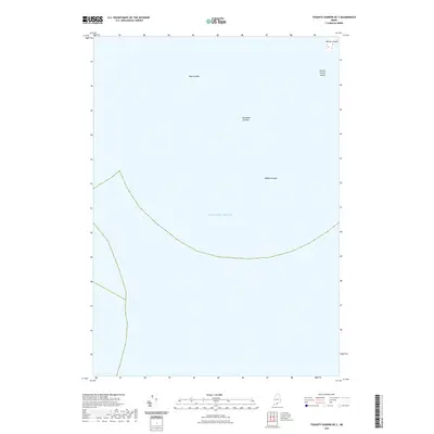
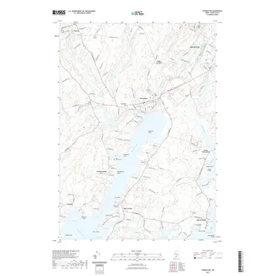
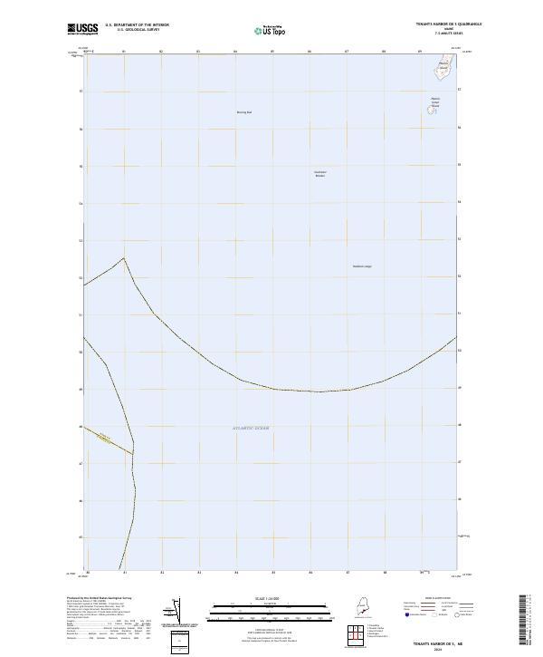
Tenants Harbor and the village of Martinsville anchor this jagged stretch of the Maine coastline, where the land fragments into a complex network of peninsulas and granite-fringed islands. The seafaring character of the region is evident in the dense cluster of named maritime features, from the sheltered waters of Mosquito Harbor and Wheeler Bay to the outlying Metinic Island and the lighthouse-guarded Whitehead Island. Local history and genealogy are anchored by several burial grounds, including Seaside Cem and South Parish Cem, while the industrial past of the area is hinted at by Atwoods Quarry Rd near Long Cove. Extensive coastal protections are represented by the Petit Manan National Wildlife Refuge, which encompasses several islands and ledges. This modern survey illustrates how traditional coastal settlements remain deeply integrated with the surrounding Atlantic environment, connected by historic routes like St George Rd and Harts Neck Rd.
Find a feature on this map
100 named features on this map. Tap any name to fly to it.
Don’t see what you’re looking for? This feature index may not catch every label — zoom into the map to look around manually.
Map Details
Editions of this 2024 Tenants Harbor Map
This is the sole edition of this map. No revisions or reprints were ever made.
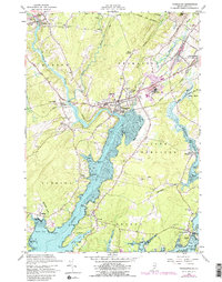
Historical Maps of Saint George Through Time
145 maps found

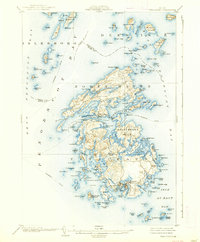
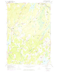
1904 Tenants Harbor
Knox County, ME
1904 Vinalhaven
Knox County, ME

1906 Matinicus
Knox County, ME
1906 Tenants Harbor
Knox County, ME

1941 Vinalhaven
Knox County, ME
1944 Vinalhaven
Knox County, ME
1955 Camden
Knox County, ME
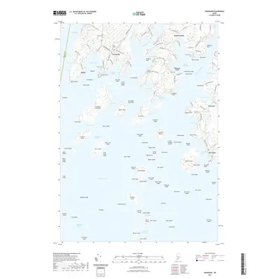
1955 Friendship
Knox County, ME
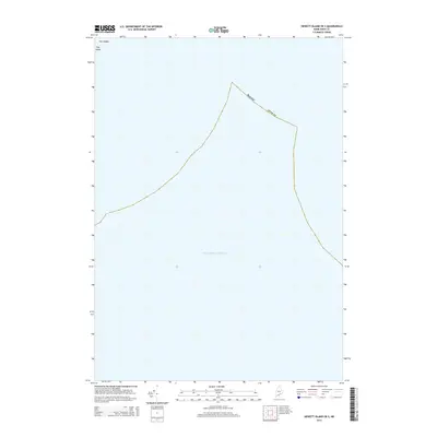
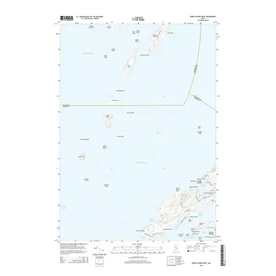
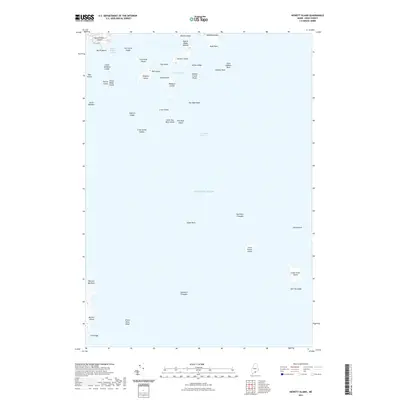
1955 Hewett Island
Knox County, ME

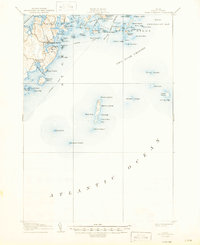
1955 Monhegan
Knox County, ME

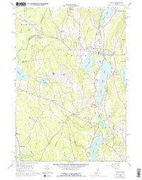
1955 Tenants Harbor
Knox County, ME
1955 Thomaston
Knox County, ME

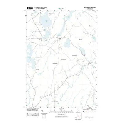
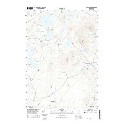
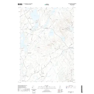
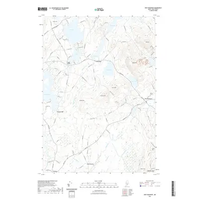
1955 West Rockport
Knox County, ME
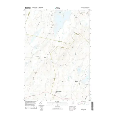
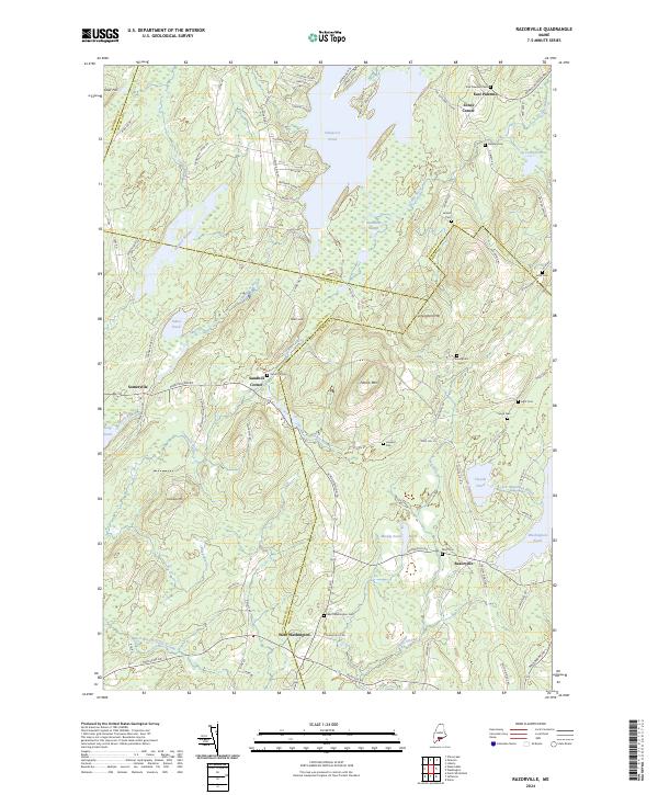
1961 Razorville
Knox County, ME
1961 Washington
Knox County, ME
1965 Union
Knox County, ME

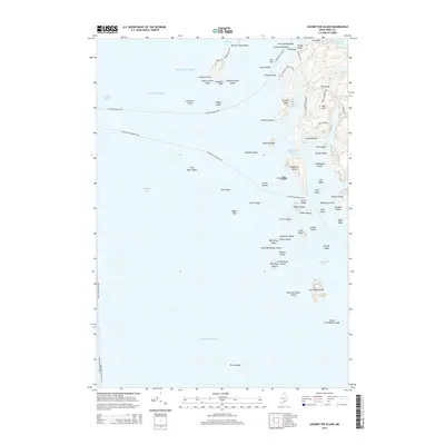
1982 Leadbetter Island
Knox County, ME

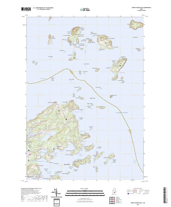
1982 North Haven East
Knox County, ME
1982 Vinalhaven
Knox County, ME

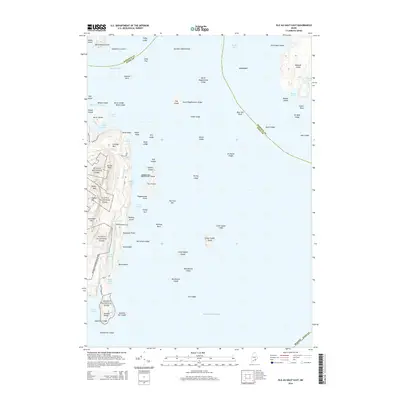
1983 Isle Au Haut East
Knox County, ME

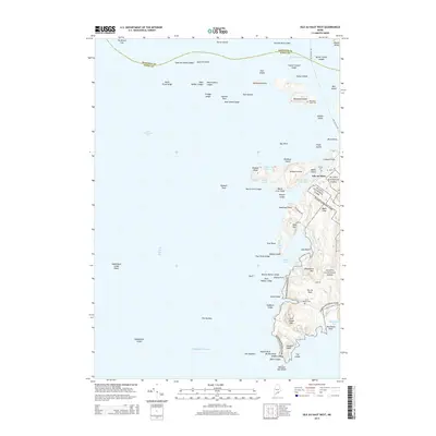
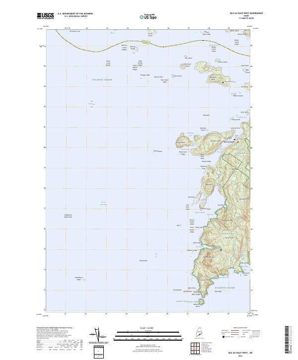
1983 Isle Au Haut West
Knox County, ME

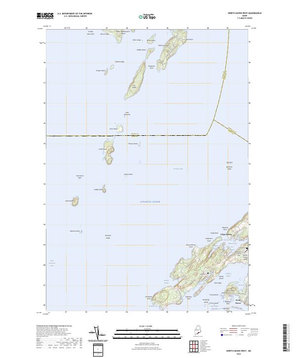
1983 North Haven West
Knox County, ME

1985 Matinicus
Knox County, ME

1994 Matinicus
Knox County, ME

2000 Camden
Knox County, ME

2000 Vinalhaven
Knox County, ME
2011 Camden
Knox County, ME
2011 Friendship
Knox County, ME
2011 Hewett Island
Knox County, ME
2011 Hewett Island OE S
Knox County, ME
2011 Isle Au Haut East
Knox County, ME
2011 Isle Au Haut West
Knox County, ME
2011 Leadbetter Island
Knox County, ME
2011 Matinicus
Knox County, ME
2011 Matinicus OE NE
Knox County, ME
2011 Matinicus OE N
Knox County, ME
2011 Matinicus OE NW
Knox County, ME
2011 Matinicus OE W
Knox County, ME
2011 Monhegan
Knox County, ME
2011 North Haven East
Knox County, ME

2011 North Haven West
Knox County, ME
2011 Razorville
Knox County, ME
2011 Tenants Harbor
Knox County, ME
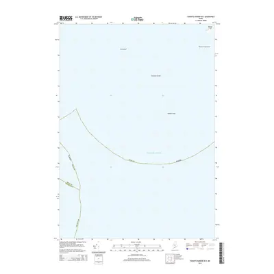
2011 Tenants Harbor OE S
Knox County, ME
2011 Thomaston
Knox County, ME
2011 Union
Knox County, ME
2011 Vinalhaven
Knox County, ME
2011 Washington
Knox County, ME
2011 West Rockport
Knox County, ME
2014 Camden
Knox County, ME
2014 Friendship
Knox County, ME
2014 Hewett Island
Knox County, ME
2014 Hewett Island OE S
Knox County, ME
2014 Isle Au Haut East
Knox County, ME
2014 Isle Au Haut West
Knox County, ME
2014 Leadbetter Island
Knox County, ME
2014 Matinicus
Knox County, ME
2014 Matinicus OE E
Knox County, ME
2014 Matinicus OE NE
Knox County, ME
2014 Matinicus OE N
Knox County, ME
2014 Matinicus OE NW
Knox County, ME
2014 Matinicus OE W
Knox County, ME
2014 Monhegan
Knox County, ME
2014 North Haven East
Knox County, ME
2014 North Haven West
Knox County, ME
2014 Razorville
Knox County, ME
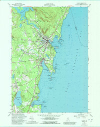
2014 Tenants Harbor
Knox County, ME
2014 Tenants Harbor OE S
Knox County, ME
2014 Thomaston
Knox County, ME
2014 Union
Knox County, ME
2014 Vinalhaven
Knox County, ME
2014 Washington
Knox County, ME
2014 West Rockport
Knox County, ME
2018 Camden
Knox County, ME
2018 Friendship
Knox County, ME
2018 Hewett Island
Knox County, ME
2018 Hewett Island OE S
Knox County, ME
2018 Isle Au Haut East
Knox County, ME
2018 Isle Au Haut West
Knox County, ME
2018 Leadbetter Island
Knox County, ME
2018 Matinicus
Knox County, ME
2018 Matinicus OE E
Knox County, ME
2018 Matinicus OE NE
Knox County, ME
2018 Matinicus OE N
Knox County, ME
2018 Matinicus OE NW
Knox County, ME
2018 Matinicus OE W
Knox County, ME
2018 Monhegan
Knox County, ME
2018 North Haven East
Knox County, ME
2018 North Haven West
Knox County, ME
2018 Razorville
Knox County, ME
2018 Tenants Harbor
Knox County, ME
2018 Tenants Harbor OE S
Knox County, ME
2018 Thomaston
Knox County, ME
2018 Union
Knox County, ME
2018 Vinalhaven
Knox County, ME
2018 Washington
Knox County, ME
2018 West Rockport
Knox County, ME
2021 Camden
Knox County, ME
2021 Friendship
Knox County, ME
2021 Hewett Island
Knox County, ME
2021 Hewett Island OE S
Knox County, ME
2021 Isle Au Haut East
Knox County, ME
2021 Isle Au Haut West
Knox County, ME
2021 Leadbetter Island
Knox County, ME
2021 Matinicus
Knox County, ME
2021 Matinicus OE E
Knox County, ME
2021 Matinicus OE NE
Knox County, ME
2021 Matinicus OE N
Knox County, ME
2021 Matinicus OE NW
Knox County, ME
2021 Matinicus OE W
Knox County, ME
2021 Monhegan
Knox County, ME
2021 North Haven East
Knox County, ME
2021 North Haven West
Knox County, ME
2021 Razorville
Knox County, ME
2021 Tenants Harbor
Knox County, ME
2021 Tenants Harbor OE S
Knox County, ME
2021 Thomaston
Knox County, ME
2021 Union
Knox County, ME
2021 Vinalhaven
Knox County, ME
2021 Washington
Knox County, ME
2021 West Rockport
Knox County, ME
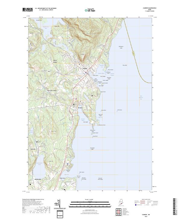
2024 Camden
Knox County, ME

2024 Friendship
Knox County, ME

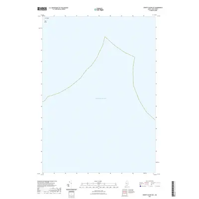
2024 Hewett Island
Knox County, ME
2024 Hewett Island OE S
Knox County, ME
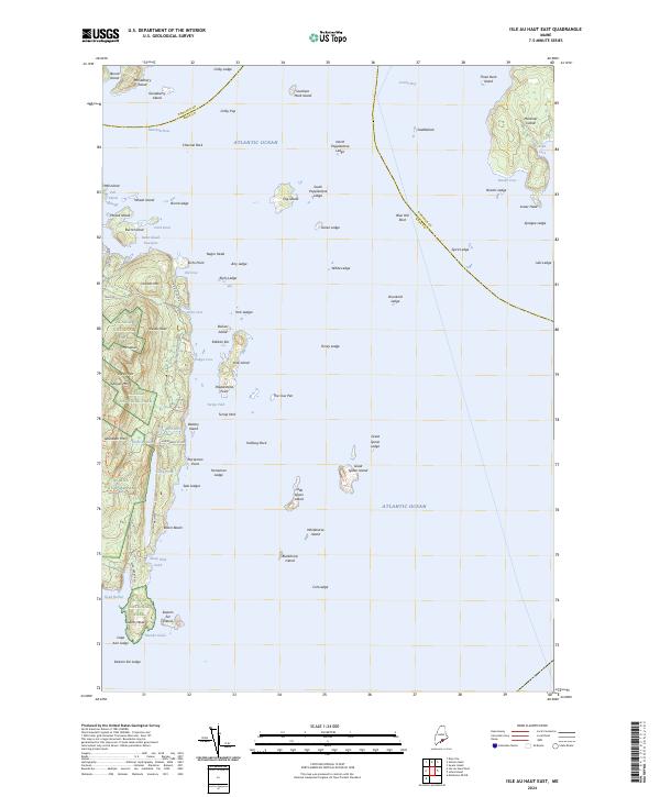
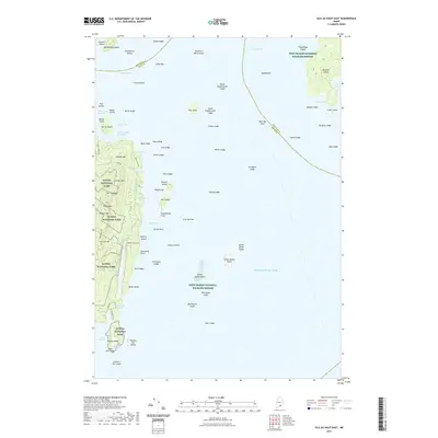
2024 Isle Au Haut East
Knox County, ME
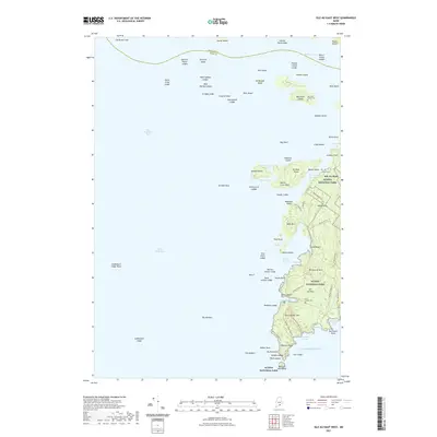
2024 Isle Au Haut West
Knox County, ME
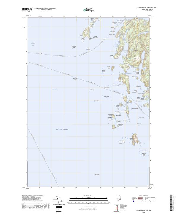
2024 Leadbetter Island
Knox County, ME
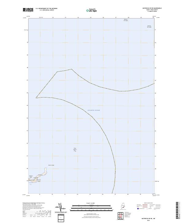
2024 Matinicus
Knox County, ME
2024 Matinicus OE E
Knox County, ME
2024 Matinicus OE NE
Knox County, ME
2024 Matinicus OE N
Knox County, ME

2024 Matinicus OE NW
Knox County, ME
2024 Matinicus OE W
Knox County, ME
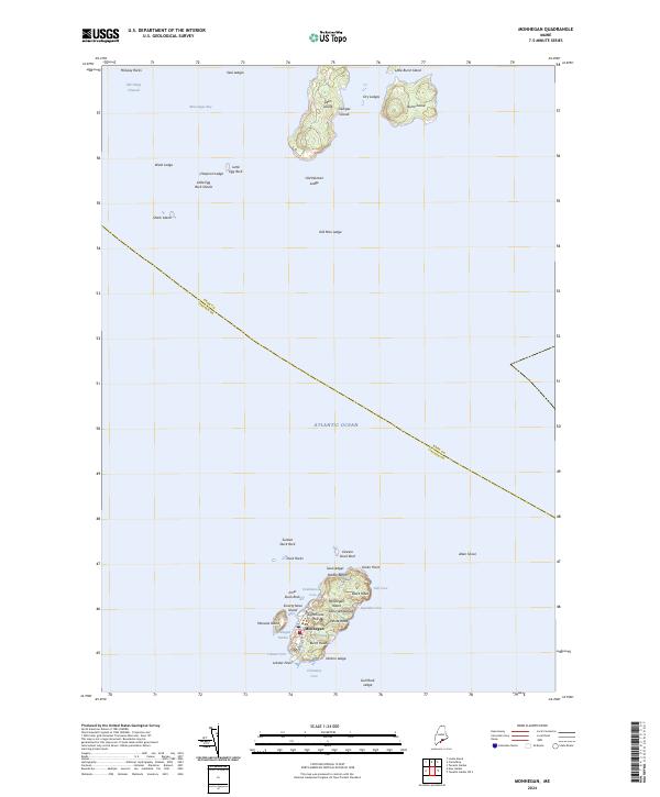
2024 Monhegan
Knox County, ME
2024 North Haven East
Knox County, ME
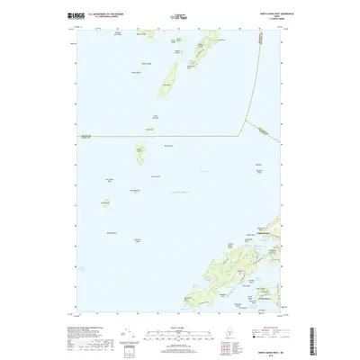
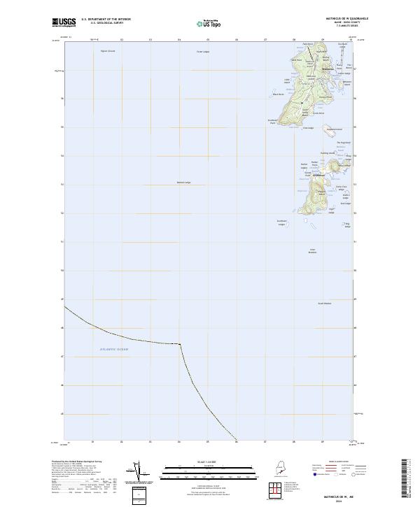
2024 North Haven West
Knox County, ME
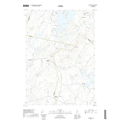
2024 Razorville
Knox County, ME
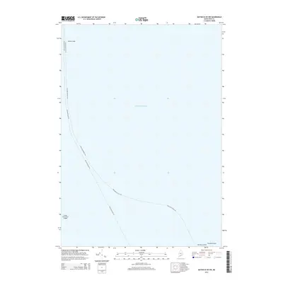
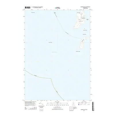
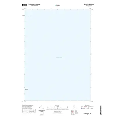
2024 Tenants Harbor
Knox County, ME
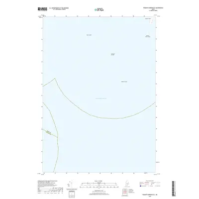
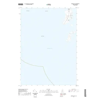
2024 Tenants Harbor OE S
Knox County, ME

2024 Thomaston
Knox County, ME
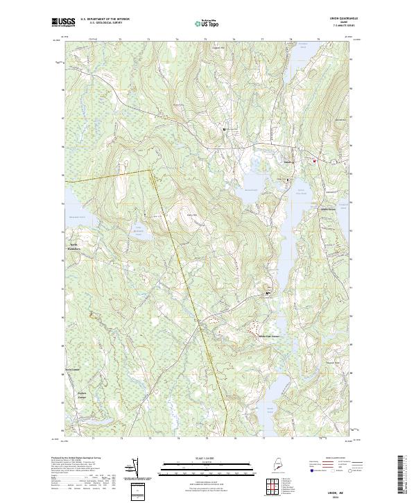
2024 Union
Knox County, ME
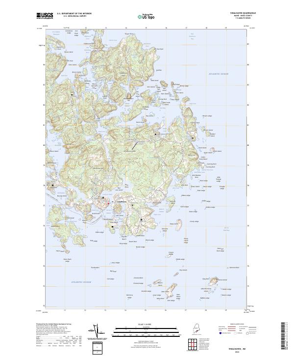
2024 Vinalhaven
Knox County, ME
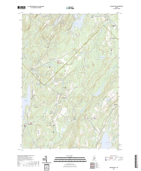
2024 Washington
Knox County, ME
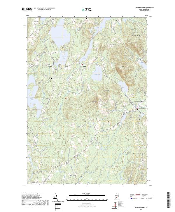
2024 West Rockport
Knox County, ME