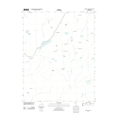
2012 Map of Tenaya Lake
USGS Topo · Published 2012About this map
Tenaya Lake serves as the central focal point of this high-altitude landscape, where Route 120 winds past the water's edge and the Tenaya Lake Campground. The area is characterized by a concentrated network of granite landmarks, including Pywiack Dome, Polly Dome, and the prominent Tenaya Peak. The map highlights a series of backcountry destinations connected by trails, such as May Lake High Sierra Camp and Sunrise High Sierra Camp, illustrating the region's long-standing role in Sierra Nevada recreation and exploration.
Find a feature on this map
46 named features on this map. Tap any name to fly to it.
Don’t see what you’re looking for? This feature index may not catch every label — zoom into the map to look around manually.
Map Details
Editions of this 2012 Tenaya Lake Map
This is the sole edition of this map. No revisions or reprints were ever made.
Other maps of this area

1897 · Yosemite
USGS Topo · 1:125,000

1900 · Yosemite
USGS Topo · 1:125,000

1901 · Mt. Lyell
USGS Topo · 1:125,000

1903 · Yosemite
USGS Topo · 1:125,000

1909 · Yosemite
USGS Topo · 1:125,000

1947 · Mariposa
USGS Topo · 1:250,000

1948 · Mariposa
USGS Topo · 1:250,000

1953 · Merced Peak
USGS Topo · 1:62,500

1956 · Hetch Hetchy Reservoir
USGS Topo · 1:62,500

1956 · Tuolumne Meadows
USGS Topo · 1:62,500