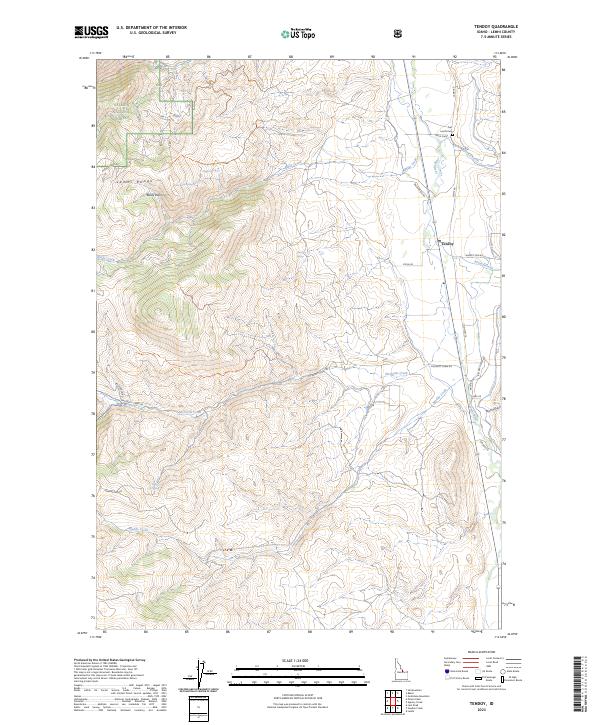
2023 Map of Tendoy
USGS Topo · Published 2023About this map
Salmon National Forest blankets the high elevations of the Lemhi Range in this high-desert landscape, where steep canyons and alpine basins give way to the fertile valley of the Lemhi River. The settlement of Tendoy sits at the base of the mountains, positioned near the junction of Agency Creek and the river. This area is noted for its deep historical roots, evidenced by the Fort Lemhi Cem and the distinctive Mule Shoe landmark located just north of the townsite.
Find a feature on this map
35 named features on this map. Tap any name to fly to it.
Don’t see what you’re looking for? This feature index may not catch every label — zoom into the map to look around manually.
Map Details
Editions of this 2023 Tendoy Map
This is the sole edition of this map. No revisions or reprints were ever made.
Other maps of this area

1950 · Salmon
USGS Topo · 1:62,500

1951 · Salmon
USGS Topo · 1:62,500

1955 · Dubois
USGS Topo · 1:250,000

1955 · Dillon
USGS Topo · 1:250,000

1956 · Goldstone Mtn
USGS Topo · 1:62,500

1956 · Lemhi
USGS Topo · 1:62,500

1957 · Dillon
USGS Topo · 1:250,000

1958 · Dubois
USGS Topo · 1:250,000

1958 · Dillon
USGS Topo · 1:250,000

1962 · Dillon
USGS Topo · 1:250,000