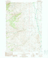
1989 Map of Tendoy
USGS Topo · Published 1989About this map
The Lemhi River valley defines the eastern edge of this 1989 survey, where the small community of Tendoy sits alongside the water and the Roadside Park. This area serves as a gateway to the mountainous terrain of the Salmon National Forest, which dominates the western half of the map. Traces of human activity are scattered throughout the hills, evidenced by numerous Prospects and individual Prospect locations, particularly concentrated around the drainage of McDevitt Creek.
Find a feature on this map
23 named features on this map. Tap any name to fly to it.
Don’t see what you’re looking for? This feature index may not catch every label — zoom into the map to look around manually.
Map Details
Editions of this 1989 Tendoy Map
This is the sole edition of this map. No revisions or reprints were ever made.
Other maps of this area

1950 · Salmon
USGS Topo · 1:62,500

1951 · Salmon
USGS Topo · 1:62,500

1955 · Dubois
USGS Topo · 1:250,000

1955 · Dillon
USGS Topo · 1:250,000

1956 · Goldstone Mtn
USGS Topo · 1:62,500

1956 · Lemhi
USGS Topo · 1:62,500

1957 · Dillon
USGS Topo · 1:250,000

1958 · Dubois
USGS Topo · 1:250,000

1958 · Dillon
USGS Topo · 1:250,000

1962 · Dillon
USGS Topo · 1:250,000