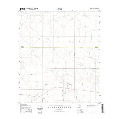
2015 Map of Tenmile Swamp
USGS Topo · Published 2015About this map
Wetappo sits at the heart of this landscape where the Calhoun Co and Gulf Co line intersects a network of rural routes and watercourses. The drainage patterns are defined by the Tenmile Swamp to the north and the winding path of Wetappo Cr to the south. Local history is anchored by family names and small burial grounds, including the Wetappo Cem and Kemp Cem located near the intersection of Kemp Cemetery Rd and Road 112. The terrain is marked by numerous seasonal and perennial flows such as Stone Mill Cr and Sandy Br, illustrating the hydrologic character of the Florida Panhandle. Traces of older transport networks appear through labels like Old Panama Hwy and the Old Airport Rd, suggesting the area's evolution from early highway systems and local aviation to its contemporary rural configuration.
Find a feature on this map
53 named features on this map. Tap any name to fly to it.
Don’t see what you’re looking for? This feature index may not catch every label — zoom into the map to look around manually.
Map Details
Editions of this 2015 Tenmile Swamp Map
This is the sole edition of this map. No revisions or reprints were ever made.
Other maps of this area
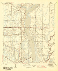
1945 · Dead Lake
USGS Topo · 1:31,680
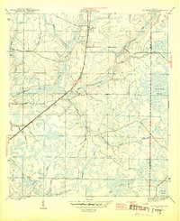
1945 · Youngstown
USGS Topo · 1:31,680
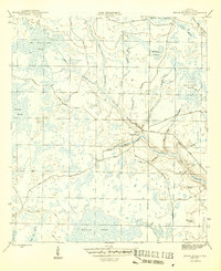
1945 · Broad Branch
USGS Topo · 1:31,680
1945 · Allanton
USGS Topo · 1:31,680
1945 · North Of Allanton
USGS Topo · 1:31,680
1945 · Frink
USGS Topo · 1:31,680
1945 · Wewahitchka
USGS Topo · 1:31,680
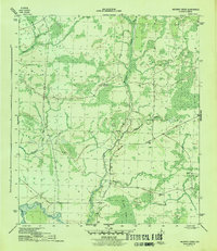
1945 · Wetappo Creek
USGS Topo · 1:31,680
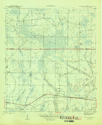
1945 · Tenmile Swamp
USGS Topo · 1:31,680
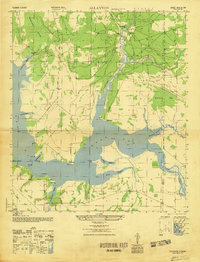
1947 · Allanton
USGS Topo · 1:25,000