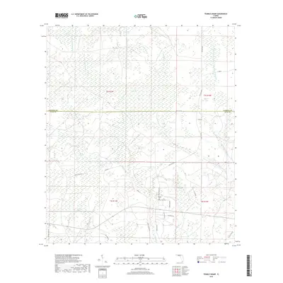
2018 Map of Tenmile Swamp
USGS Topo · Published 2018About this map
Wetappo Swamp and the dense wetland networks of the Florida panhandle dominate this survey, highlighting a landscape defined by water and timber management. The boundary between Calhoun and Gulf counties bisects the terrain, which is characterized by extensive cypress and gum basins like Tenmile Swamp and Green Bay Swamp. These lowlands are drained by a complex system of creeks, including Wetappo Creek and the Right Prong Stone Mill Creek, while the higher ground is marked by features like Two Pen Ridge. Local genealogy is anchored at the Wetappo and Kemp cemeteries, located near the southern edge of the quadrangle. The map also records the rural infrastructure of the era, from the historic CCC Road to numerous family-named tracks such as Ike Steele Road and Jarrott Daniels Road.
Find a feature on this map
50 named features on this map. Tap any name to fly to it.
Don’t see what you’re looking for? This feature index may not catch every label — zoom into the map to look around manually.
Map Details
Editions of this 2018 Tenmile Swamp Map
This is the sole edition of this map. No revisions or reprints were ever made.
Other maps of this area
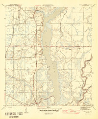
1945 · Dead Lake
USGS Topo · 1:31,680
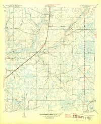
1945 · Youngstown
USGS Topo · 1:31,680
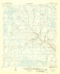
1945 · Broad Branch
USGS Topo · 1:31,680
1945 · Allanton
USGS Topo · 1:31,680
1945 · North Of Allanton
USGS Topo · 1:31,680
1945 · Frink
USGS Topo · 1:31,680
1945 · Wewahitchka
USGS Topo · 1:31,680
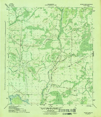
1945 · Wetappo Creek
USGS Topo · 1:31,680
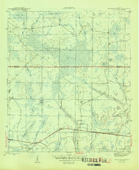
1945 · Tenmile Swamp
USGS Topo · 1:31,680
1947 · Allanton
USGS Topo · 1:25,000