Loading...
Loading map...2022 Map of Tennant
USGS Topo · Published 2022About this map
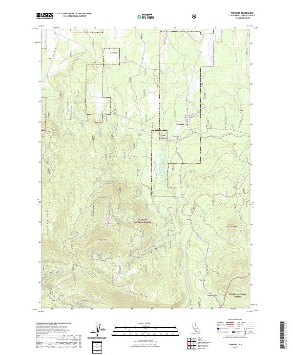
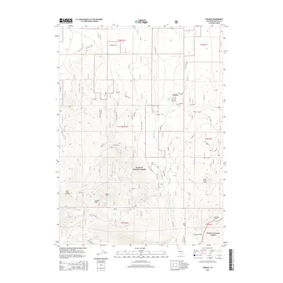
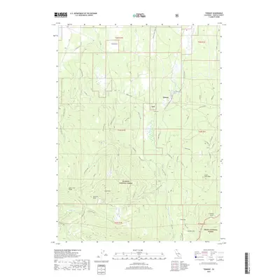
Tennant sits at the northern edge of this high-elevation landscape, where the legacy of historic logging operations is written into the terrain. A prominent Railroad Grade snakes across the eastern half of the map, tracing the logistical paths of early timber extraction near Lower Rr Grade Trl. To the south, the topographic relief increases significantly as the land rises toward the volcanic heights of Haight Mtn and Little Horse Peak.
Find a feature on this map
36 named features on this map. Tap any name to fly to it.
Don’t see what you’re looking for? This feature index may not catch every label — zoom into the map to look around manually.
Map Details
Date Portrayed2022
Date Published2022
PublisherU.S. Geological Survey
Map TypeTopographic
Scale1:24,000
Physical Dimensions24 x 29 inches
Editions of this 2022 Tennant Map
This is the sole edition of this map. No revisions or reprints were ever made.
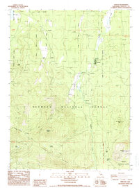
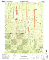
Historical Maps of Tennant Through Time
6 maps found
Featured Locations
Source Details
SourceU.S. Geological Survey
CopyrightPublic Domain