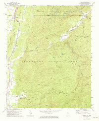
1968 Map of Tennga
USGS Topo · Published 1973About this map
Cohutta Springs and the surrounding timberlands of the Chattahoochee National Forest define this 1968 survey of the Georgia-Tennessee borderlands. The landscape is dominated by ridges and gaps, with the Louisville and Nashville railroad threading through the Fairy Valley and serving the small settlements of Tennga, Cisco, and Fairy. The presence of Mt Sumac Ch and Liberty Ch, alongside numerous unnamed cemeteries, points to deep-rooted rural communities tied to the terrain.
Find a feature on this map
55 named features on this map. Tap any name to fly to it.
Don’t see what you’re looking for? This feature index may not catch every label — zoom into the map to look around manually.
Map Details
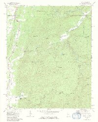
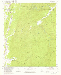
Editions of this 1968 Tennga Map
3 editions found
Other maps of this area

1886 · Dalton
USGS Topo · 1:125,000

1886 · Cleveland
USGS Topo · 1:125,000

1892 · Cleveland
USGS Topo · 1:125,000

1892 · Dalton
USGS Topo · 1:125,000

1895 · Cleveland
USGS Topo · 1:125,000

1897 · Dalton
USGS Topo · 1:125,000

1901 · Cleveland
USGS Topo · 1:125,000

1911 · Cohutta Mtn
USGS Topo · 1:62,500

1913 · Cohutta Mtn.
USGS Topo · 1:62,500
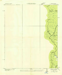
1935 · Hemp Top
USGS Topo · 1:24,000