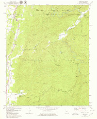
1968 Map of Tennga
USGS Topo · Published 1980About this map
Cohutta Springs and the surrounding wilderness of the Chattahoochee National Forest define this 1960s landscape along the Georgia-Tennessee border. The settlement pattern is concentrated along the western edge, where the Louisville and Nashville railroad runs parallel to U.S. 411, connecting the communities of Tennga, Cisco, and Crandall. This corridor reveals a mix of local industry and rural life, featuring a gravel pit, the Rostex Airport, and several local houses of worship including Liberty Ch and Mt Sumac Ch.
Find a feature on this map
63 named features on this map. Tap any name to fly to it.
Don’t see what you’re looking for? This feature index may not catch every label — zoom into the map to look around manually.
Map Details
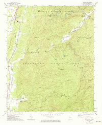
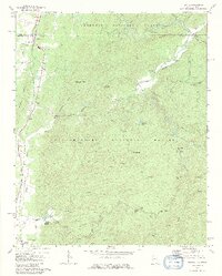
Editions of this 1968 Tennga Map
3 editions found
Other maps of this area

1886 · Dalton
USGS Topo · 1:125,000

1886 · Cleveland
USGS Topo · 1:125,000

1892 · Cleveland
USGS Topo · 1:125,000

1892 · Dalton
USGS Topo · 1:125,000

1895 · Cleveland
USGS Topo · 1:125,000

1897 · Dalton
USGS Topo · 1:125,000

1901 · Cleveland
USGS Topo · 1:125,000

1911 · Cohutta Mtn
USGS Topo · 1:62,500

1913 · Cohutta Mtn.
USGS Topo · 1:62,500
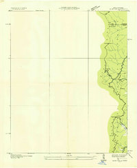
1935 · Hemp Top
USGS Topo · 1:24,000