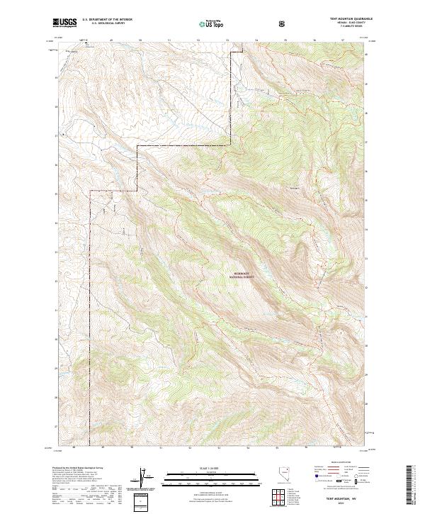
2021 Map of Tent Mountain
USGS Topo · Published 2021About this map
Starr Valley occupies the northwest corner of this quadrangle, where the Upper Starr Valley Rd passes near the Starr Valley Cem. This area transitions quickly into the high elevations of the Humboldt National Forest, dominated by the prominent peak of Tent Mtn. The landscape is defined by a dense network of high-altitude drainages, including Deering Cr, Alles Cr, and several branches of Boulder Creek, which flow through steep canyons.
Find a feature on this map
39 named features on this map. Tap any name to fly to it.
Don’t see what you’re looking for? This feature index may not catch every label — zoom into the map to look around manually.
Map Details
Editions of this 2021 Tent Mountain Map
This is the sole edition of this map. No revisions or reprints were ever made.
Other maps of this area

1935 · Halleck
USGS Topo · 1:125,000

1955 · Wells
USGS Topo · 1:250,000

1955 · Elko
USGS Topo · 1:250,000

1958 · Wells
USGS Topo · 1:250,000

1958 · Elko
USGS Topo · 1:250,000

1961 · Wells
USGS Topo · 1:250,000

1962 · Elko
USGS Topo · 1:250,000

1965 · Elko
USGS Topo · 1:250,000

1967 · Welcome
USGS Topo · 1:24,000

1967 · Herder Creek
USGS Topo · 1:24,000