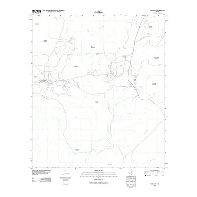
2010 Map of Terlingua
USGS Topo · Published 2010About this map
Terlingua and the Terlingua Historic District anchor this West Texas landscape, showing a region defined by its proximity to the Chihuahuan Desert and the Big Bend frontier. The settlement pattern here is sparse but strategic, with Study Butte serving as a secondary hub connected by FM 170 HWY. Transportation and infrastructure are central to the map's story, featuring both the Terlingua Airport and La Loona Airport, reflecting the area's modern reliance on aviation for connectivity.
Find a feature on this map
34 named features on this map. Tap any name to fly to it.
Don’t see what you’re looking for? This feature index may not catch every label — zoom into the map to look around manually.
Map Details
Editions of this 2010 Terlingua Map
This is the sole edition of this map. No revisions or reprints were ever made.
Other maps of this area

1903 · Chisos Mountains
USGS Topo · 1:125,000

1903 · Terlingua
USGS Topo · 1:125,000

1904 · Terlingua
USGS Topo · 1:125,000

1905 · Chisos Mountains
USGS Topo · 1:125,000

1959 · Emory Peak
USGS Topo · 1:250,000

1965 · Emory Peak
USGS Topo · 1:250,000

1971 · Yellow Hill
USGS Topo · 1:24,000

1971 · Terlingua
USGS Topo · 1:24,000

1971 · Cerro Castellan
USGS Topo · 1:24,000

1971 · Amarilla Mountain
USGS Topo · 1:24,000