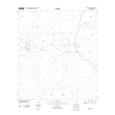
2012 Map of Terlingua
USGS Topo · Published 2012About this map
Terlingua Historic District anchors the western edge of this High Desert landscape, where the Chihuahuan terrain is defined by dry arroyos and volcanic peaks. The mapping captures the corridor between Terlingua and Study Butte, connected by Ranch Road 170 and Terlingua Town Rd. This area’s remote character is reflected in the numerous isolated springs like Maverick Spring and Cigar Spring, which served as vital water sources for early ranching and mining operations.
Find a feature on this map
44 named features on this map. Tap any name to fly to it.
Don’t see what you’re looking for? This feature index may not catch every label — zoom into the map to look around manually.
Map Details
Editions of this 2012 Terlingua Map
This is the sole edition of this map. No revisions or reprints were ever made.
Other maps of this area
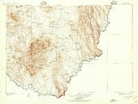
1903 · Chisos Mountains
USGS Topo · 1:125,000
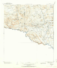
1903 · Terlingua
USGS Topo · 1:125,000
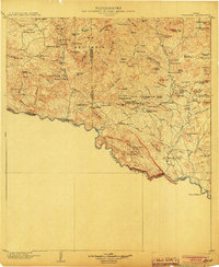
1904 · Terlingua
USGS Topo · 1:125,000
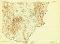
1905 · Chisos Mountains
USGS Topo · 1:125,000
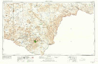
1959 · Emory Peak
USGS Topo · 1:250,000
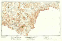
1965 · Emory Peak
USGS Topo · 1:250,000
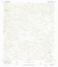
1971 · Yellow Hill
USGS Topo · 1:24,000
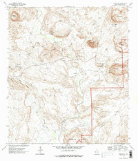
1971 · Terlingua
USGS Topo · 1:24,000
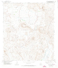
1971 · Cerro Castellan
USGS Topo · 1:24,000
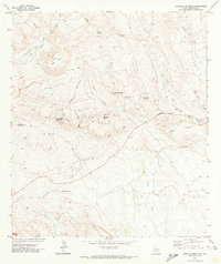
1971 · Amarilla Mountain
USGS Topo · 1:24,000