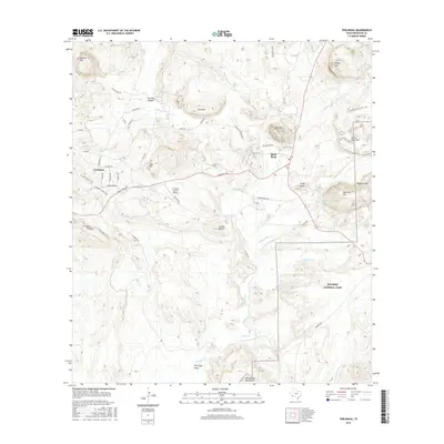
2016 Map of Terlingua
USGS Topo · Published 2016About this map
Terlingua and the neighboring community of Study Butte sit within a high-desert landscape defined by complex geology and ephemeral watercourses. This area of Brewster County is famously marked by the Terlingua Ghost Town, an enduring waypoint for those tracing the history of mercury mining and remote Texas settlements. The map details a transition from the structured plots of the town sites to the protected wilderness of Big Bend National Park, which occupies the southeastern portion of the quadrangle. High points like Cigar Mtn and Maverick Mtn rise above the drainage of Terlingua Cr, while human activity is evidenced by the C Fulcher Ranch Airport and a network of desert roads such as Ranch Rd 170. These landmarks illustrate the isolation and specialized land use of the Big Bend region, where cattle ranching, mining history, and conservation efforts intersect along the Long Draw.
Find a feature on this map
59 named features on this map. Tap any name to fly to it.
Don’t see what you’re looking for? This feature index may not catch every label — zoom into the map to look around manually.
Map Details
Editions of this 2016 Terlingua Map
This is the sole edition of this map. No revisions or reprints were ever made.
Other maps of this area
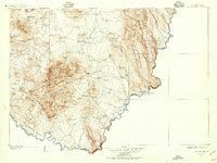
1903 · Chisos Mountains
USGS Topo · 1:125,000
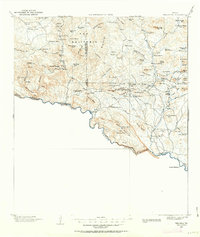
1903 · Terlingua
USGS Topo · 1:125,000
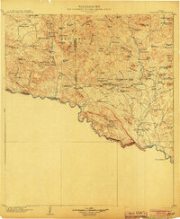
1904 · Terlingua
USGS Topo · 1:125,000
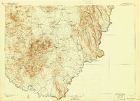
1905 · Chisos Mountains
USGS Topo · 1:125,000
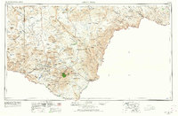
1959 · Emory Peak
USGS Topo · 1:250,000
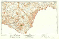
1965 · Emory Peak
USGS Topo · 1:250,000
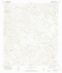
1971 · Yellow Hill
USGS Topo · 1:24,000
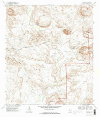
1971 · Terlingua
USGS Topo · 1:24,000
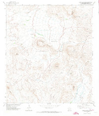
1971 · Cerro Castellan
USGS Topo · 1:24,000
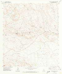
1971 · Amarilla Mountain
USGS Topo · 1:24,000