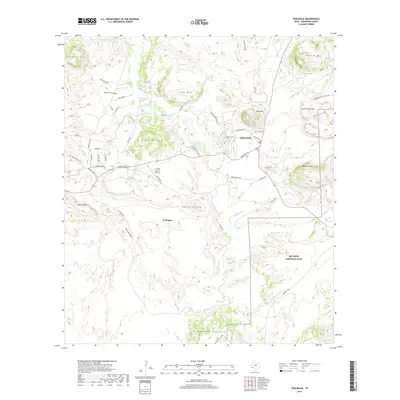
2019 Map of Terlingua
USGS Topo · Published 2019About this map
Terlingua and Study Butte sit at the heart of this high-desert landscape in southern Brewster County. The map documents a transition from the preserved wilderness of Big Bend National Park to the historic mining and ranching areas further west. Near the center, the C Fulcher Ranch Airport and the network of roads like Ranch Rd 170 connect these isolated outposts. Distinctive terrain features such as the Reed Plateau, Cuesta Blanca, and the Rattlesnake Mountains define the local topography, while water sources like Cigar Spring and Lost Spring are critical markers in this arid environment.
Find a feature on this map
59 named features on this map. Tap any name to fly to it.
Don’t see what you’re looking for? This feature index may not catch every label — zoom into the map to look around manually.
Map Details
Editions of this 2019 Terlingua Map
This is the sole edition of this map. No revisions or reprints were ever made.
Other maps of this area
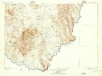
1903 · Chisos Mountains
USGS Topo · 1:125,000
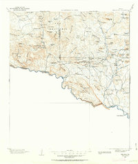
1903 · Terlingua
USGS Topo · 1:125,000
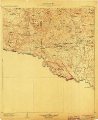
1904 · Terlingua
USGS Topo · 1:125,000
1905 · Chisos Mountains
USGS Topo · 1:125,000
1959 · Emory Peak
USGS Topo · 1:250,000
1965 · Emory Peak
USGS Topo · 1:250,000
1971 · Yellow Hill
USGS Topo · 1:24,000
1971 · Terlingua
USGS Topo · 1:24,000
1971 · Cerro Castellan
USGS Topo · 1:24,000
1971 · Amarilla Mountain
USGS Topo · 1:24,000