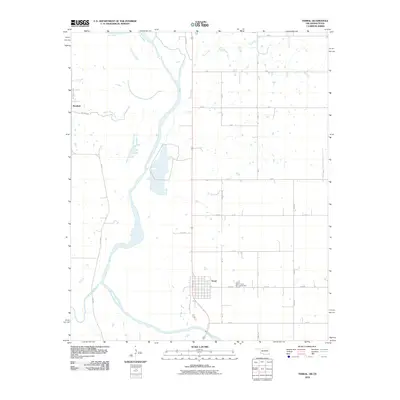
2010 Map of Terral
USGS Topo · Published 2010About this map
The Red River defines the borderlands of Oklahoma and Texas, winding through a landscape of braided channels and expansive floodplains. On the Oklahoma side, the town of Terral sits near the river's edge, characterized by a structured street grid that includes West St and the nearby Terral Cemetery. This area marks a historical geographic boundary, clearly delineated by the 98th Meridian Rd, which runs along the western edge of the quadrangle near the settlement of Stanfield.
Find a feature on this map
30 named features on this map. Tap any name to fly to it.
Don’t see what you’re looking for? This feature index may not catch every label — zoom into the map to look around manually.
Map Details
Editions of this 2010 Terral Map
This is the sole edition of this map. No revisions or reprints were ever made.
Other maps of this area

1901 · Addington
USGS Topo · 1:125,000

1905 · Montague
USGS Topo · 1:125,000

1954 · Sherman
USGS Topo · 1:250,000

1954 · Wichita Falls
USGS Topo · 1:250,000

1955 · Lawton
USGS Topo · 1:250,000

1956 · Henrietta
USGS Topo · 1:62,500

1957 · Hastings
USGS Topo · 1:62,500

1957 · Ardmore
USGS Topo · 1:250,000

1958 · Wichita Falls
USGS Topo · 1:250,000

1958 · Sherman
USGS Topo · 1:250,000