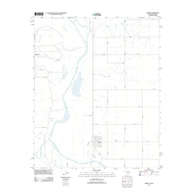
2013 Map of Terral
USGS Topo · Published 2013About this map
Terral sits at the southern edge of Jefferson County, where the grid of Oklahoma section roads meets the winding course of the Red River. This landscape is defined by the convergence of major waterways, including the Little Wichita River and Little Pecan Cr, which carve through the plains near the Texas border. The town's layout is centered around a traditional street grid featuring 2nd St and 5th St, while the nearby Terral Cemetery serves as a vital touchstone for local genealogy. To the northwest, the settlement of Stanfield and the historic path of Old Hwy 81 highlight the region's transport history. The map also captures the path of the 98th Meridian Rd, a significant surveying landmark that once helped define the boundary of Indian Territory, illustrating how geopolitical lines and natural river boundaries dictated the development of these borderlands.
Find a feature on this map
34 named features on this map. Tap any name to fly to it.
Don’t see what you’re looking for? This feature index may not catch every label — zoom into the map to look around manually.
Map Details
Editions of this 2013 Terral Map
This is the sole edition of this map. No revisions or reprints were ever made.
Other maps of this area
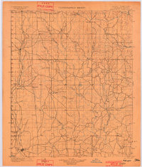
1901 · Addington
USGS Topo · 1:125,000
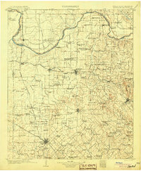
1905 · Montague
USGS Topo · 1:125,000

1954 · Sherman
USGS Topo · 1:250,000

1954 · Wichita Falls
USGS Topo · 1:250,000

1955 · Lawton
USGS Topo · 1:250,000
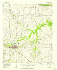
1956 · Henrietta
USGS Topo · 1:62,500
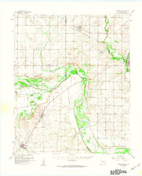
1957 · Hastings
USGS Topo · 1:62,500
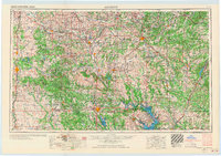
1957 · Ardmore
USGS Topo · 1:250,000

1958 · Wichita Falls
USGS Topo · 1:250,000

1958 · Sherman
USGS Topo · 1:250,000