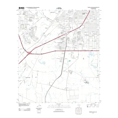
2013 Map of Terrell Wells
USGS Topo · Published 2013About this map
The confluence of Medina River and Leon Cr anchors this southern Bexar County landscape, where rural reaches meet the expanding San Antonio suburban fringe. Large-scale infrastructure dominates the central corridor, including the Leon Creek Water Resources Complex and major transit arteries like Interstate 35 S and SW Loop 410. Family and local history are preserved in several distinct burial sites, such as Lona China Cem, Hernandez Cem, and Ruiz Cem, alongside the historic Garza Crossing on the Medina.
Find a feature on this map
54 named features on this map. Tap any name to fly to it.
Don’t see what you’re looking for? This feature index may not catch every label — zoom into the map to look around manually.
Map Details
Editions of this 2013 Terrell Wells Map
This is the sole edition of this map. No revisions or reprints were ever made.
Other maps of this area

1953 · Culebra Hill
USGS Topo · 1:24,000

1953 · San Antonio West
USGS Topo · 1:24,000

1953 · San Antonio East
USGS Topo · 1:24,000

1953 · Terrell Wells
USGS Topo · 1:24,000

1953 · Macdona
USGS Topo · 1:24,000

1953 · Southton
USGS Topo · 1:24,000

1954 · San Antonio
USGS Topo · 1:250,000

1957 · San Antonio
USGS Topo · 1:250,000

1958 · Losoya
USGS Topo · 1:24,000

1958 · Somerset
USGS Topo · 1:24,000