Loading...
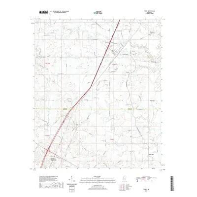
Loading map...1937 Map of Terry
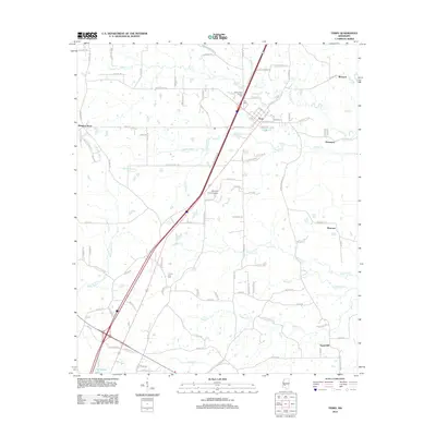
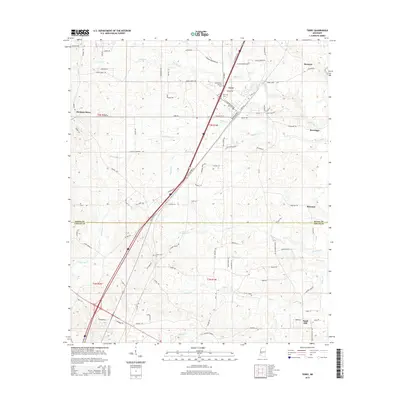
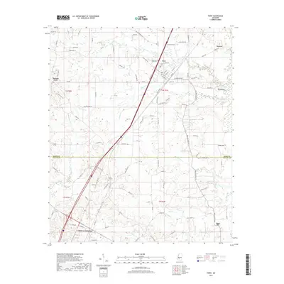
USGS Topo · Published 1937About this map
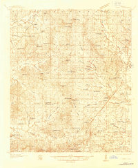
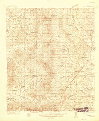
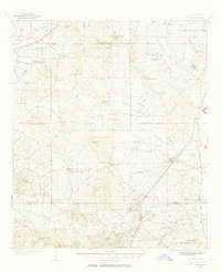
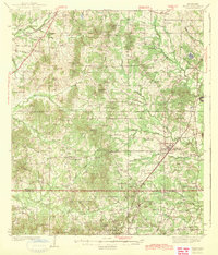
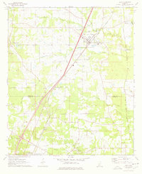
Terry serves as the focal point of this 1930s landscape, where the Illinois Central railroad and the Gulf and Ship Island line intersect. The map reveals a dense network of rural community centers, often anchored by country schools and churches like the Hester Rosenwald Sch and Pilgrims Rest Sch. Local commerce and transit are marked by specific landmarks such as Morgans Store, Fairchilds Crossroads, and Dabney Crossroads, which indicate the established social geography of the era.
Find a feature on this map
78 named features on this map. Tap any name to fly to it.
Don’t see what you’re looking for? This feature index may not catch every label — zoom into the map to look around manually.
Map Details
Date Portrayed1937
Date Published1937
PublisherU.S. Geological Survey
Map TypeTopographic
Scale1:48,000
Physical Dimensions22 x 26.8 inches
Editions of this 1937 Terry Map
3 editions found
Historical Maps of Jackson Through Time
8 maps found
Featured Locations
Source Details
SourceU.S. Geological Survey
CopyrightPublic Domain