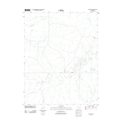
2012 Map of Teterville
USGS Topo · Published 2012About this map
The Teterville area of Greenwood County is defined by a landscape of prairie uplands and creek bottoms heavily influenced by the regional petroleum industry. Significant energy production markers like the Teter Oil Field and Scott Oil Field dominate the topography, illustrating the area's economic reliance on natural resources during the early 21st century. The map shows a transition from high points like Texaco Hill down into the drainage basins of the W Br Fall River and E Br Fall River. Local history is anchored at the High Prairie Cem and the settlement of Teterville, while the presence of Cities Service Lake reflects industrial water management. A network of rural routes, including Co HWY 6 and TWP HWY 50, provides access to these remote ranching and oil-producing tracts.
Find a feature on this map
18 named features on this map. Tap any name to fly to it.
Don’t see what you’re looking for? This feature index may not catch every label — zoom into the map to look around manually.
Map Details
Editions of this 2012 Teterville Map
This is the sole edition of this map. No revisions or reprints were ever made.
Other maps of this area

1885 · Eureka
USGS Topo · 1:125,000

1888 · Emporia
USGS Topo · 1:125,000

1888 · Eureka
USGS Topo · 1:125,000

1888 · Eldorado
USGS Topo · 1:125,000

1894 · Emporia
USGS Topo · 1:125,000

1894 · Eureka
USGS Topo · 1:125,000

1898 · Cottonwood Falls
USGS Topo · 1:125,000

1955 · Wichita
USGS Topo · 1:250,000

1955 · Hutchinson
USGS Topo · 1:250,000

1958 · Wichita
USGS Topo · 1:250,000