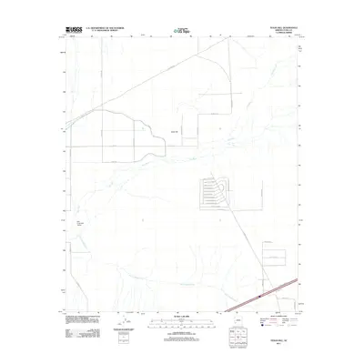
2011 Map of Texas Hill
USGS Topo · Published 2011About this map
The Gila River winds through the heart of this Yuma County landscape, defining the agricultural and desert layout of the region. The map highlights the settlement of Texas Hill, surrounded by a rigid grid of rural roads like Palomas Rd and Canal Rd that support the local irrigation and transport network. To the south, the terrain transitions into the San Cristobal Valley, where the broad San Cristobal Wash drains toward the river.
Find a feature on this map
36 named features on this map. Tap any name to fly to it.
Don’t see what you’re looking for? This feature index may not catch every label — zoom into the map to look around manually.
Map Details
Editions of this 2011 Texas Hill Map
This is the sole edition of this map. No revisions or reprints were ever made.
Other maps of this area

1926 · Mohawk
USGS Topo · 1:62,500

1927 · Kim
USGS Topo · 1:62,500

1928 · Mohawk
USGS Topo · 1:62,500

1928 · Norton
USGS Topo · 1:62,500

1929 · Norton
USGS Topo · 1:62,500

1930 · Stoval
USGS Topo · 1:62,500

1931 · Kim
USGS Topo · 1:62,500

1950 · Stoval
USGS Topo · 1:62,500

1953 · Ajo
USGS Topo · 1:250,000

1955 · Growler
USGS Topo · 1:24,000