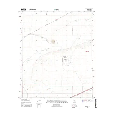
2014 Map of Texas Hill
USGS Topo · Published 2014About this map
Texas Hill rises as a prominent landmark above the lower Gila River valley, anchoring this desert landscape in southern Arizona. The terrain transition is sharp where the river's path meets the San Cristobal Valley, and the hydrological network is dominated by the seasonal San Cristobal Wash carving through the arid floor. Settlement patterns here are distinctly structured around the small community of Stoval in the southeast and a concentrated residential grid to the north. This residential area features a naming convention reflective of the region's cultural ties, with streets like Calle Chihuahua, Calle Juarez, and Calle Yucatan forming a tight network near Avenida Hermosillo. The map reveals the infrastructure required for desert life, including irrigation-related Canal Rd and the long-distance traverse of Palomas Rd.
Find a feature on this map
43 named features on this map. Tap any name to fly to it.
Don’t see what you’re looking for? This feature index may not catch every label — zoom into the map to look around manually.
Map Details
Editions of this 2014 Texas Hill Map
This is the sole edition of this map. No revisions or reprints were ever made.
Other maps of this area

1926 · Mohawk
USGS Topo · 1:62,500

1927 · Kim
USGS Topo · 1:62,500

1928 · Mohawk
USGS Topo · 1:62,500

1928 · Norton
USGS Topo · 1:62,500

1929 · Norton
USGS Topo · 1:62,500

1930 · Stoval
USGS Topo · 1:62,500

1931 · Kim
USGS Topo · 1:62,500

1950 · Stoval
USGS Topo · 1:62,500

1953 · Ajo
USGS Topo · 1:250,000

1955 · Growler
USGS Topo · 1:24,000