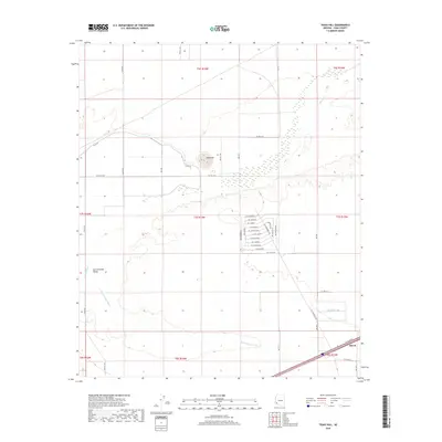
2018 Map of Texas Hill
USGS Topo · Published 2018About this map
Texas Hill rises above the arid plains of Yuma County, marking a distinctive elevation change south of the Gila River. This landscape is defined by the transition between the irrigated agricultural tracts to the north and the expansive San Cristobal Valley to the south. The small settlement of Stoval sits at the southern edge of the quadrangle, where transportation routes and water management systems converge. The area is crisscrossed by several ephemeral drainage features, most notably the San Cristobal Wash, which meanders across the flat desert floor.
Find a feature on this map
46 named features on this map. Tap any name to fly to it.
Don’t see what you’re looking for? This feature index may not catch every label — zoom into the map to look around manually.
Map Details
Editions of this 2018 Texas Hill Map
This is the sole edition of this map. No revisions or reprints were ever made.
Other maps of this area

1926 · Mohawk
USGS Topo · 1:62,500

1927 · Kim
USGS Topo · 1:62,500

1928 · Mohawk
USGS Topo · 1:62,500

1928 · Norton
USGS Topo · 1:62,500

1929 · Norton
USGS Topo · 1:62,500

1930 · Stoval
USGS Topo · 1:62,500

1931 · Kim
USGS Topo · 1:62,500

1950 · Stoval
USGS Topo · 1:62,500

1953 · Ajo
USGS Topo · 1:250,000

1955 · Growler
USGS Topo · 1:24,000