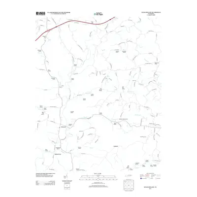
2013 Map of Texas Hollow
USGS Topo · Published 2013About this map
Piney River meanders through the heart of the Western Highland Rim in this modern survey of Hickman County. The landscape is defined by its deep, family-named hollows and ridges, such as Missionary Ridge and Texas Hollow. Small historic communities like Pinewood and Matlock Ford serve as focal points for the local road network, which often follows the contours of the terrain. The presence of Wells Cemetery Rd and Chappell Cemetery Rd provides significant markers for genealogical research in an area dominated by rural residential patterns and natural drainage systems like Big Spring Cr and Bear Cr. A distinctive local character is evident in labels such as Boneyard Hollow and Wild Hog Hollow, reflecting the region's topography and traditional nomenclature.
Find a feature on this map
149 named features on this map. Tap any name to fly to it.
Don’t see what you’re looking for? This feature index may not catch every label — zoom into the map to look around manually.
Map Details
Editions of this 2013 Texas Hollow Map
This is the sole edition of this map. No revisions or reprints were ever made.
Other maps of this area

1901 · Colombia
USGS Topo · 1:125,000

1936 · Nunnelly
USGS Topo · 1:24,000

1936 · Whitfield
USGS Topo · 1:24,000

1936 · Littlelot
USGS Topo · 1:24,000

1936 · Texas Hollow
USGS Topo · 1:24,000

1936 · Spot
USGS Topo · 1:24,000

1936 · Burns
USGS Topo · 1:24,000

1936 · Lyles
USGS Topo · 1:24,000

1936 · Tennessee City
USGS Topo · 1:24,000

1936 · Dickson
USGS Topo · 1:24,000