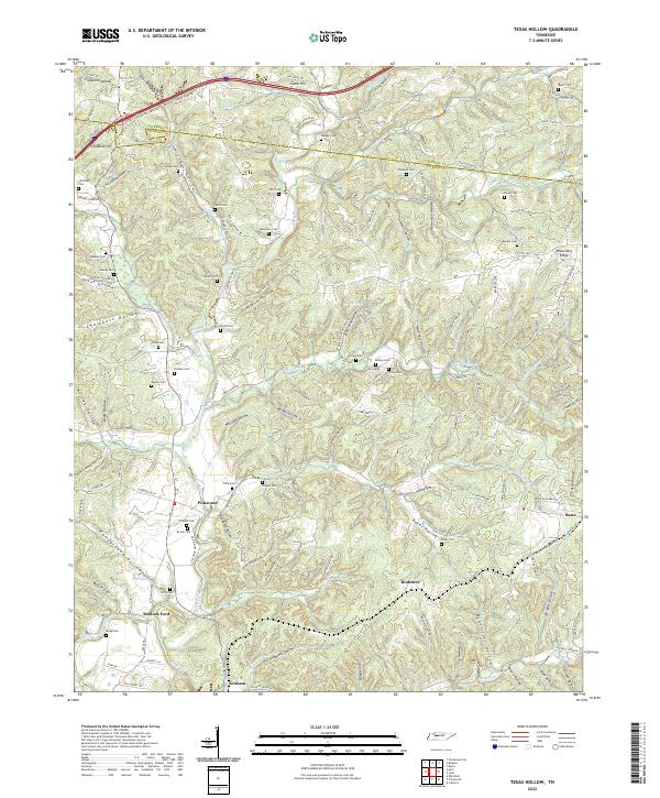
2022 Map of Texas Hollow
USGS Topo · Published 2022About this map
Pinewood and Graham anchor this portion of the Tennessee interior, where the Piney River carves a winding path through a landscape defined by countless deep hollows. The settlement pattern here is intimately tied to the drainage system, with communities and family-named cemeteries such as Wells Cem and Meacham Cem occupying the higher ground between creek valleys. Historical transport routes are evident at Matlock Ford, while the topographic detail reveals a network of hollows including Texas Hollow, Boneyard Hollow, and Wild Hog Hollow. The convergence of Plunders Creek and the Piney River highlights the complex hydrology that historically dictated land use and road placement in this rural Hickman County corridor.
Find a feature on this map
153 named features on this map. Tap any name to fly to it.
Don’t see what you’re looking for? This feature index may not catch every label — zoom into the map to look around manually.
Map Details
Editions of this 2022 Texas Hollow Map
This is the sole edition of this map. No revisions or reprints were ever made.
Other maps of this area

1901 · Colombia
USGS Topo · 1:125,000

1936 · Nunnelly
USGS Topo · 1:24,000

1936 · Whitfield
USGS Topo · 1:24,000

1936 · Littlelot
USGS Topo · 1:24,000

1936 · Texas Hollow
USGS Topo · 1:24,000

1936 · Spot
USGS Topo · 1:24,000

1936 · Burns
USGS Topo · 1:24,000

1936 · Lyles
USGS Topo · 1:24,000

1936 · Tennessee City
USGS Topo · 1:24,000

1936 · Dickson
USGS Topo · 1:24,000