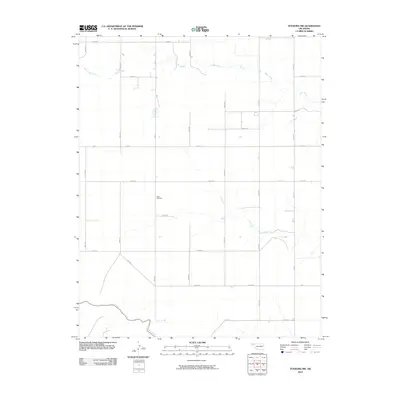
2010 Map of Texhoma NW
USGS Topo · Published 2010About this map
Baker Cemetery sits at the center of this Texas County landscape, serving as a primary landmark in a region defined by its orderly section-line road network. The terrain is marked by the meandering paths of Tepee Creek in the north and Sand Creek in the southwest, providing a natural contrast to the rigid grid of rural thoroughfares such as Mile 4 and Co Rd 27. This 2010 survey by the U.S. Geological Survey illustrates the persistent agrarian structure of the Oklahoma Panhandle, where the distribution of water sources and burial grounds like Baker Cemetery anchor the geographic identity of a sparsely populated ranching and farming district.
Find a feature on this map
26 named features on this map. Tap any name to fly to it.
Don’t see what you’re looking for? This feature index may not catch every label — zoom into the map to look around manually.
Map Details
Editions of this 2010 Texhoma NW Map
This is the sole edition of this map. No revisions or reprints were ever made.
Other maps of this area

1954 · Perryton
USGS Topo · 1:250,000

1954 · Dalhart
USGS Topo · 1:250,000

1958 · Perryton
USGS Topo · 1:250,000

1958 · Dalhart
USGS Topo · 1:250,000

1962 · Dalhart
USGS Topo · 1:250,000

1971 · Griggs NE
USGS Topo · 1:24,000

1971 · Griggs
USGS Topo · 1:24,000

1971 · Hopkins
USGS Topo · 1:24,000

1973 · Texhoma NE
USGS Topo · 1:24,000

1973 · Texhoma North
USGS Topo · 1:24,000