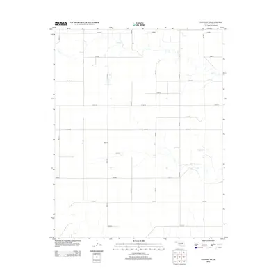
2012 Map of Texhoma NW
USGS Topo · Published 2012About this map
The High Plains of Texas County, Oklahoma, are defined by an expansive grid of section-line roads and the subtle drainage patterns of the panhandle. This 2012 survey shows a landscape of agricultural utility, where the intermittent waters of Tepee Cr and Sand Cr carve shallow paths across the terrain. Central to the local history of this township is Baker Cem, a landmark for genealogical research located along Co Hwy-50. The map documents a sophisticated transportation network of county highways and rural routes, such as Co Hwy-27 and Co Hwy-49, which facilitate the region’s ranching and farming operations. This record serves as a precise inventory of the infrastructure and natural watercourses that sustain life in this corner of the Oklahoma Panhandle.
Find a feature on this map
21 named features on this map. Tap any name to fly to it.
Don’t see what you’re looking for? This feature index may not catch every label — zoom into the map to look around manually.
Map Details
Editions of this 2012 Texhoma NW Map
This is the sole edition of this map. No revisions or reprints were ever made.
Other maps of this area

1954 · Perryton
USGS Topo · 1:250,000

1954 · Dalhart
USGS Topo · 1:250,000

1958 · Perryton
USGS Topo · 1:250,000

1958 · Dalhart
USGS Topo · 1:250,000

1962 · Dalhart
USGS Topo · 1:250,000

1971 · Griggs NE
USGS Topo · 1:24,000

1971 · Griggs
USGS Topo · 1:24,000

1971 · Hopkins
USGS Topo · 1:24,000

1973 · Texhoma NE
USGS Topo · 1:24,000

1973 · Texhoma North
USGS Topo · 1:24,000