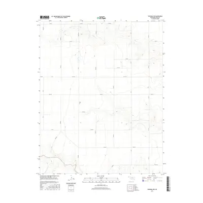
2016 Map of Texhoma NW
USGS Topo · Published 2016About this map
Baker Cem sits at the heart of this Panhandle landscape, a quiet landmark within the section-line grid of Texas County. This 2016 survey illustrates the high plains character of the Oklahoma-Texas borderlands, where the terrain is etched by the drainage of Tepee Cr in the north and the winding course of Sand Creek in the southwest corner. The map documents a predominantly rural agricultural layout, defined by an orderly network of local roads including Cemetery Rd, Mile 4, and Mile 7. These numbered and named corridors, such as Co Hwy 49, facilitate movement across a landscape where traditional land divisions remain the primary organizing principle for residents and property owners.
Find a feature on this map
29 named features on this map. Tap any name to fly to it.
Don’t see what you’re looking for? This feature index may not catch every label — zoom into the map to look around manually.
Map Details
Editions of this 2016 Texhoma NW Map
This is the sole edition of this map. No revisions or reprints were ever made.
Other maps of this area

1954 · Perryton
USGS Topo · 1:250,000

1954 · Dalhart
USGS Topo · 1:250,000

1958 · Perryton
USGS Topo · 1:250,000

1958 · Dalhart
USGS Topo · 1:250,000

1962 · Dalhart
USGS Topo · 1:250,000

1971 · Griggs NE
USGS Topo · 1:24,000

1971 · Griggs
USGS Topo · 1:24,000

1971 · Hopkins
USGS Topo · 1:24,000

1973 · Texhoma NE
USGS Topo · 1:24,000

1973 · Texhoma North
USGS Topo · 1:24,000