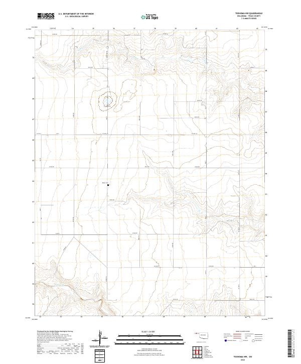
2022 Map of Texhoma NW
USGS Topo · Published 2022About this map
Baker Cem sits at the heart of this high plains landscape, a remote point of interest for genealogists and local historians tracing families in the panhandle. The terrain is defined by the ephemeral drainage patterns of Tepee Cr in the north and Sand Creek in the southwest. This area, divided by the Public Land Survey System into townships like t3n-r10e and t2n r11e, reflects the rigid grid of the American West. A network of rural routes, including Cemetery Rd and Co Hwy 49, connects these agricultural sections, following the section lines established over a century ago. The sparse placement of named features underscore the expansive nature of the cattle and wheat country near the Oklahoma-Texas border.
Find a feature on this map
32 named features on this map. Tap any name to fly to it.
Don’t see what you’re looking for? This feature index may not catch every label — zoom into the map to look around manually.
Map Details
Editions of this 2022 Texhoma NW Map
This is the sole edition of this map. No revisions or reprints were ever made.
Other maps of this area

1954 · Perryton
USGS Topo · 1:250,000

1954 · Dalhart
USGS Topo · 1:250,000

1958 · Perryton
USGS Topo · 1:250,000

1958 · Dalhart
USGS Topo · 1:250,000

1962 · Dalhart
USGS Topo · 1:250,000

1971 · Griggs NE
USGS Topo · 1:24,000

1971 · Griggs
USGS Topo · 1:24,000

1971 · Hopkins
USGS Topo · 1:24,000

1973 · Texhoma NE
USGS Topo · 1:24,000

1973 · Texhoma North
USGS Topo · 1:24,000