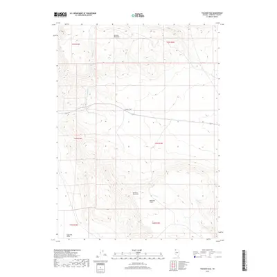
2018 Map of Thacker Pass
USGS Topo · Published 2018About this map
Thacker Pass serves as a critical topographic notch between the Montana Mountains to the north and the Double H Mountains to the south. This remote high-desert corridor in Humboldt County is defined by its drainage systems, including Thacker Cr and the secluded reaches of Moonshine Canyon. The landscape transitions from these interior mountain ranges down toward the Kings River Valley in the southwest corner of the sheet. State Route 293 provides the primary east-west transit through the pass, following the natural contours of the basin. The map reveals a network of intermittent watercourses such as Pole Cr, Pretty Cr, and Cherry Cr, which carve through the arid terrain, illustrating the hydrologic patterns of the northern Great Basin in the early 21st century.
Find a feature on this map
16 named features on this map. Tap any name to fly to it.
Don’t see what you’re looking for? This feature index may not catch every label — zoom into the map to look around manually.
Map Details
Editions of this 2018 Thacker Pass Map
This is the sole edition of this map. No revisions or reprints were ever made.
Other maps of this area

1882 · Paradise
USGS Topo · 1:250,000

1886 · Disaster
USGS Topo · 1:250,000

1893 · Paradise
USGS Topo · 1:250,000

1893 · Disaster
USGS Topo · 1:250,000

1954 · Vya
USGS Topo · 1:250,000

1955 · McDermitt
USGS Topo · 1:250,000

1958 · Vya
USGS Topo · 1:250,000

1959 · McDermitt
USGS Topo · 1:250,000

1959 · Orovada
USGS Topo · 1:62,500

1959 · Jordan Meadow
USGS Topo · 1:62,500