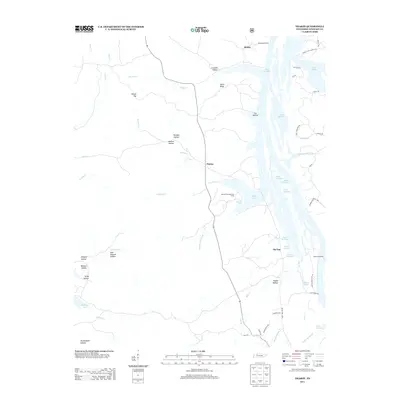
2013 Map of Tharpe
USGS Topo · Published 2013About this map
Lake Barkley and the narrow strip of land between it and Kentucky Lake define this Stewart County landscape. The settlement of Tharpe occupies a central position, surrounded by a complex system of wooded hollows such as Jackson Hollow, Burgess Hollow, and Wildcat Hollow. This topography reflects the deeply dissected terrain typical of the area bordering the Tennessee and Cumberland River valleys. The map documents the recreational and residential development along the eastern shore of the reservoir, including the Brandon Spring Group Camp and various landings like Mannings Landing and Jackson Landing. Inland, smaller water bodies like Bards Lake and Rawls Pond are tucked away near Happy Hollow, while family-named ridges and hollows like Nolin Ridge and Crutcher Hollow provide valuable geographical markers for genealogical research in this part of Tennessee.
Find a feature on this map
55 named features on this map. Tap any name to fly to it.
Don’t see what you’re looking for? This feature index may not catch every label — zoom into the map to look around manually.
Map Details
Editions of this 2013 Tharpe Map
This is the sole edition of this map. No revisions or reprints were ever made.
Other maps of this area

1936 · Tharpe
USGS Topo · 1:24,000

1936 · Hamlin
USGS Topo · 1:24,000

1936 · Centerville Landing
USGS Topo · 1:24,000

1936 · Rushing
USGS Topo · 1:24,000

1936 · Standing Rock
USGS Topo · 1:24,000

1936 · Dover
USGS Topo · 1:24,000

1950 · Rushing Creek
USGS Topo · 1:24,000
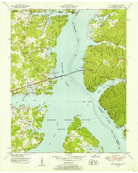
1950 · Paris Landing
USGS Topo · 1:24,000

1950 · Standing Rock
USGS Topo · 1:24,000
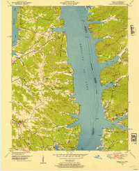
1950 · Hamlin
USGS Topo · 1:24,000