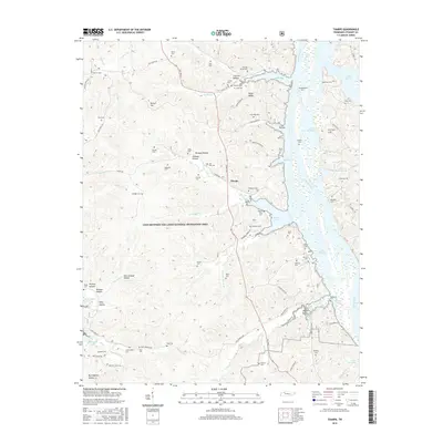
2016 Map of Tharpe
USGS Topo · Published 2016About this map
Land Between the Lakes National Recreation Area dominates this landscape, spanning the narrow peninsula between two massive water bodies. The terrain is characterized by a series of hollows and ridges, such as Nolin Ridge and Jackson Hollow, that drain into Kentucky Lake to the west and Lake Barkley to the east. This central location within the recreation area preserves a high density of family burial grounds that predate the flooding of the valleys. Genealogists can find numerous sites including Mount Zion Cem, Barrow Cem, and Neville Creek Cem tucked into the hills. The small settlement of Tharpe sits along The Trace, the primary north-south artery. The map illustrates the specialized road network of the recreation area, including Brandon Spring Rd and Fire Tower Rd, which provide access to interior points like Bards Lake.
Find a feature on this map
95 named features on this map. Tap any name to fly to it.
Don’t see what you’re looking for? This feature index may not catch every label — zoom into the map to look around manually.
Map Details
Editions of this 2016 Tharpe Map
This is the sole edition of this map. No revisions or reprints were ever made.
Other maps of this area

1936 · Tharpe
USGS Topo · 1:24,000

1936 · Hamlin
USGS Topo · 1:24,000

1936 · Centerville Landing
USGS Topo · 1:24,000

1936 · Rushing
USGS Topo · 1:24,000

1936 · Standing Rock
USGS Topo · 1:24,000

1936 · Dover
USGS Topo · 1:24,000

1950 · Rushing Creek
USGS Topo · 1:24,000
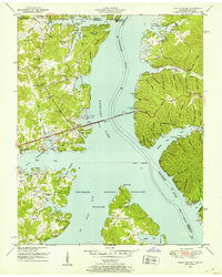
1950 · Paris Landing
USGS Topo · 1:24,000

1950 · Standing Rock
USGS Topo · 1:24,000
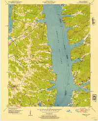
1950 · Hamlin
USGS Topo · 1:24,000