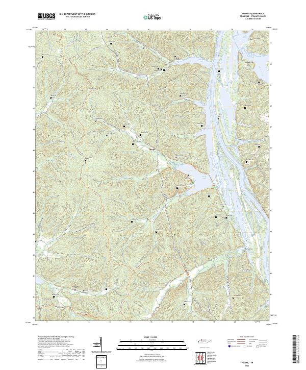
2022 Map of Tharpe
USGS Topo · Published 2022About this map
The Cumberland River and the waters of Lake Barkley dominate the eastern landscape of Stewart County in this contemporary survey. The terrain is characterized by a series of deep valleys and ridges, including Jackson Hollow, Burgess Hollow, and Stilly Hollow, which suggest the historic isolation of the area prior to modern infrastructure. A significant number of family burial sites are scattered across the hillsides, such as Legate Cem, Pettit Cem, and Sills Cem, providing a dense network of genealogical data for the Tharpe area.
Find a feature on this map
100 named features on this map. Tap any name to fly to it.
Don’t see what you’re looking for? This feature index may not catch every label — zoom into the map to look around manually.
Map Details
Editions of this 2022 Tharpe Map
This is the sole edition of this map. No revisions or reprints were ever made.
Other maps of this area

1936 · Tharpe
USGS Topo · 1:24,000

1936 · Hamlin
USGS Topo · 1:24,000

1936 · Centerville Landing
USGS Topo · 1:24,000

1936 · Rushing
USGS Topo · 1:24,000

1936 · Standing Rock
USGS Topo · 1:24,000

1936 · Dover
USGS Topo · 1:24,000

1950 · Rushing Creek
USGS Topo · 1:24,000
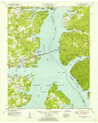
1950 · Paris Landing
USGS Topo · 1:24,000

1950 · Standing Rock
USGS Topo · 1:24,000
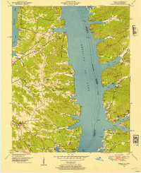
1950 · Hamlin
USGS Topo · 1:24,000