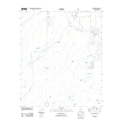
2011 Map of Thatcher
USGS Topo · Published 2011About this map
Thatcher and the neighboring community of Central anchor this 2011 landscape, where the residential grids of Graham County transition into a complex system of washes and canyons. The map documents a distinct water management network essential for this arid region, featuring numerous infrastructure points such as Cluff Reservoir Number One, Allen Reservoir, and Riggs Reservoir. These water sources are dispersed among named geographic landmarks like Halls Mesa and Robinson Flat, illustrating how human settlement is dictated by the drainage patterns of Ash Creek and Frye Creek. For local historians and genealogists, the map provides precise locations for three distinct burial grounds: Thatcher Cemetery, Central Cemetery, and the Old Cemetery. South of the settlements, the terrain becomes increasingly complex as it rises toward Frye Mesa, marked by features such as the McEnary Tunnel and the isolated Tin House near X Canyon.
Find a feature on this map
80 named features on this map. Tap any name to fly to it.
Don’t see what you’re looking for? This feature index may not catch every label — zoom into the map to look around manually.
Map Details
Editions of this 2011 Thatcher Map
This is the sole edition of this map. No revisions or reprints were ever made.
Other maps of this area

1942 · Mt. Graham
USGS Topo · 1:62,500

1945 · Mt. Graham
USGS Topo · 1:62,500

1954 · Silver City
USGS Topo · 1:250,000

1958 · Silver City
USGS Topo · 1:250,000

1960 · Thatcher
USGS Topo · 1:62,500

1960 · Safford
USGS Topo · 1:62,500

1962 · Silver City
USGS Topo · 1:250,000

1966 · Artesia
USGS Topo · 1:24,000
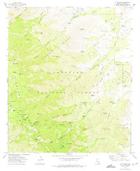
1972 · Mt. Graham
USGS Topo · 1:24,000
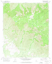
1972 · Webb Peak
USGS Topo · 1:24,000