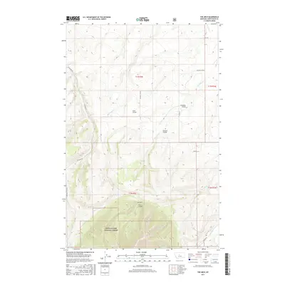
2017 Map of The Arch
USGS Topo · Published 2017About this map
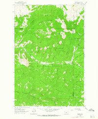
Lewis & Clark National Forest encompasses the southern portion of this Montana landscape, where the terrain shifts from open coulees into the protected timberlands of the Little Belt Mountains region. The namesake geological formation The Arch is situated above Arch Coulee, serving as a primary landmark in a territory defined by its complex drainage systems. Watercourses like Big Otter Cr and Old Geyser Cr have carved deep incisions into the topography, creating the distinct coulees that dictate travel and land use in this part of Judith Basin County.
Find a feature on this map
24 named features on this map. Tap any name to fly to it.
Don’t see what you’re looking for? This feature index may not catch every label — zoom into the map to look around manually.
Map Details
Editions of this 2017 The Arch Map
This is the sole edition of this map. No revisions or reprints were ever made.
Other maps of this area

1890 · Fort Benton
USGS Topo · 1:250,000

1892 · Fort Benton
USGS Topo · 1:250,000

1897 · Fort Benton
USGS Topo · 1:250,000

1954 · Great Falls
USGS Topo · 1:250,000

1957 · Great Falls
USGS Topo · 1:250,000
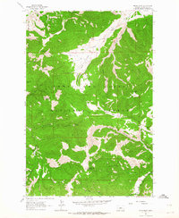
1961 · Mixes Baldy
USGS Topo · 1:24,000
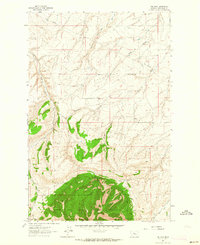
1961 · The Arch
USGS Topo · 1:24,000
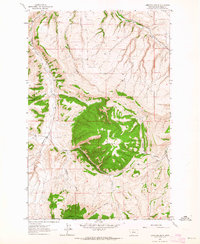
1961 · Limestone Butte
USGS Topo · 1:24,000
1961 · Barker
USGS Topo · 1:24,000

1961 · Barker
USGS Topo · 1:62,500