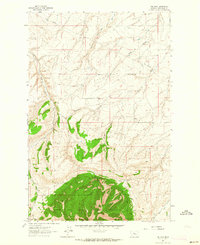
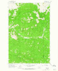
1961 Map of The Arch
USGS Topo · Published 1964About this map
The Arch and Otter Mountain dominate the high terrain of this portion of the Lewis and Clark National Forest in the early 1960s. The landscape is defined by a series of steep drainages, including Crow Coulee, McCarthy Coulee, and Shannon Coulee, which cut through the Judith Basin region. This topographic survey documents the local extraction economy through labels for the Nailer Mine and Chambers Mine, alongside a Gravel Pit and several unnamed trails and pipelines that cross the northern sections. The orientation of Big Otter Creek and Old Geyser Creek illustrates the complex drainage patterns feeding into the larger basin system. Historical researchers can trace the early infrastructure of the forest boundary, where primitive routes like the Jeep Trail provide the primary access through the timbered slopes and coulees.
Find a feature on this map
18 named features on this map. Tap any name to fly to it.
Don’t see what you’re looking for? This feature index may not catch every label — zoom into the map to look around manually.
Map Details
Editions of this 1961 The Arch Map
2 editions found
Other maps of this area

1890 · Fort Benton
USGS Topo · 1:250,000

1892 · Fort Benton
USGS Topo · 1:250,000

1897 · Fort Benton
USGS Topo · 1:250,000

1954 · Great Falls
USGS Topo · 1:250,000

1957 · Great Falls
USGS Topo · 1:250,000
1961 · Mixes Baldy
USGS Topo · 1:24,000
1961 · Limestone Butte
USGS Topo · 1:24,000
1961 · Barker
USGS Topo · 1:24,000

1961 · Barker
USGS Topo · 1:62,500
1978 · Byrne Creek
USGS Topo · 1:24,000