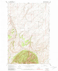
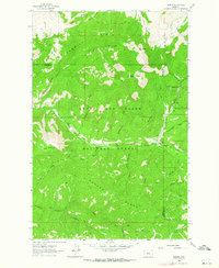
1961 Map of The Arch
USGS Topo · Published 1984About this map
The northern reaches of the Lewis and Clark National Forest dominate the lower half of this landscape, rising to the high point of Peterson Mountain and the distinctive geological formation known as The Arch. The terrain is defined by a series of north-draining coulees, including Jackson Coulee, Shannon Coulee, and Chambers Coulee, which cut through the high country toward the drainage of Big Otter Creek.
Find a feature on this map
16 named features on this map. Tap any name to fly to it.
Don’t see what you’re looking for? This feature index may not catch every label — zoom into the map to look around manually.
Map Details
Editions of this 1961 The Arch Map
2 editions found
Other maps of this area

1890 · Fort Benton
USGS Topo · 1:250,000

1892 · Fort Benton
USGS Topo · 1:250,000

1897 · Fort Benton
USGS Topo · 1:250,000

1954 · Great Falls
USGS Topo · 1:250,000

1957 · Great Falls
USGS Topo · 1:250,000
1961 · Mixes Baldy
USGS Topo · 1:24,000
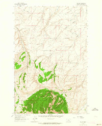
1961 · The Arch
USGS Topo · 1:24,000
1961 · Limestone Butte
USGS Topo · 1:24,000
1961 · Barker
USGS Topo · 1:24,000

1961 · Barker
USGS Topo · 1:62,500