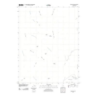
2010 Map of The Blocks
USGS Topo · Published 2010About this map
The Blocks area in Emery County features a labyrinth of drainage washes and distinctive desert landforms shaped by geological forces. This 2010 survey documents the complex erosional patterns of the San Rafael Swell, where naming conventions often reflect the imaginative interpretations of early cattlemen and travelers. Named landmarks like Joe and His Dog, Devils Monument, and The Twin Priests serve as critical navigational markers in a landscape otherwise defined by the winding paths of Cane Wash and the North Fork Coal Wash.
Find a feature on this map
22 named features on this map. Tap any name to fly to it.
Don’t see what you’re looking for? This feature index may not catch every label — zoom into the map to look around manually.
Map Details
Editions of this 2010 The Blocks Map
This is the sole edition of this map. No revisions or reprints were ever made.
Other maps of this area

1885 · San Rafael
USGS Topo · 1:250,000

1886 · Price River
USGS Topo · 1:250,000

1896 · Price River
USGS Topo · 1:250,000

1952 · San Rafael Knob
USGS Topo · 1:62,500

1953 · Stinking Spring Creek 2 SE
USGS Topo · 1:24,000

1953 · Wilsonville SE
USGS Topo · 1:24,000

1953 · Red Plateau SW
USGS Topo · 1:24,000

1954 · Stinking Spring Creek 1 NW
USGS Topo · 1:24,000

1954 · Stinking Spring Creek 2 SW
USGS Topo · 1:24,000

1954 · Stinking Spring Creek 2 NE
USGS Topo · 1:24,000