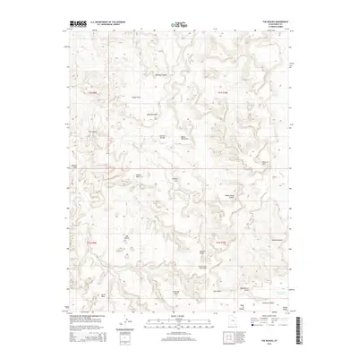
2014 Map of The Blocks
USGS Topo · Published 2014About this map
The high-desert terrain of central Utah is defined here by a series of dramatic geological formations and deep drainages. The Blocks and Secret Mesa stand as prominent landmarks above a network of dry washes and canyons, including Cane Wash and Saddle Horse Canyon. This 2014 survey documents the remote landscape where natural spans like Swaseys Arch, Golden Gate, and Obscure Arch occur within the complex topography. Evidence of land use and water management is visible at the Reid Neilson Reservoir, while whimsical names such as Joe and His Dog and Devils Monument reflect the local character of the rock formations. The map traces the winding course of the North Fork Coal Wash and McCarty Canyon, illustrating the erosional patterns that have shaped the San Rafael Swell area over millennia.
Find a feature on this map
26 named features on this map. Tap any name to fly to it.
Don’t see what you’re looking for? This feature index may not catch every label — zoom into the map to look around manually.
Map Details
Editions of this 2014 The Blocks Map
This is the sole edition of this map. No revisions or reprints were ever made.
Other maps of this area

1885 · San Rafael
USGS Topo · 1:250,000

1886 · Price River
USGS Topo · 1:250,000

1896 · Price River
USGS Topo · 1:250,000

1952 · San Rafael Knob
USGS Topo · 1:62,500

1953 · Stinking Spring Creek 2 SE
USGS Topo · 1:24,000

1953 · Wilsonville SE
USGS Topo · 1:24,000

1953 · Red Plateau SW
USGS Topo · 1:24,000

1954 · Stinking Spring Creek 1 NW
USGS Topo · 1:24,000

1954 · Stinking Spring Creek 2 SW
USGS Topo · 1:24,000

1954 · Stinking Spring Creek 2 NE
USGS Topo · 1:24,000