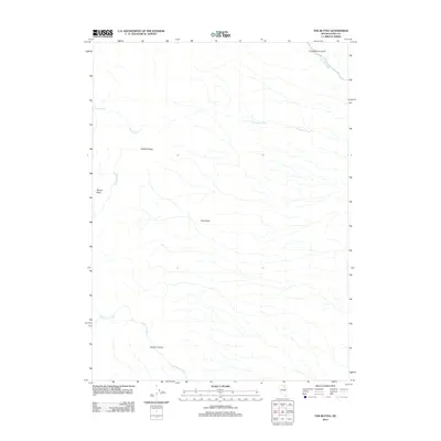
2012 Map of The Buttes
USGS Topo · Published 2012About this map
The Adobe Range dominates this portion of Elko County, Nevada, defining a landscape of high desert basins and seasonal watercourses. This area is characterized by its prominent drainage systems, most notably Coal Mine Creek and its associated Coal Mine Canyon in the northeast, which suggests a history of local resource extraction or prospecting. Central to the map are The Buttes, providing a focal point for the surrounding terrain. To the west, the Dorsey Basin collects runoff from Dorsey Creek, while Willow Springs marks a vital water source in this arid environment. The map details the intricate network of creeks, including Twelvemile Creek and Jackstone Creek, that carve through the high-elevation flats and canyons like Jackson Canyon.
Find a feature on this map
11 named features on this map. Tap any name to fly to it.
Don’t see what you’re looking for? This feature index may not catch every label — zoom into the map to look around manually.
Map Details
Editions of this 2012 The Buttes Map
This is the sole edition of this map. No revisions or reprints were ever made.
Other maps of this area

1955 · Wells
USGS Topo · 1:250,000

1955 · Elko
USGS Topo · 1:250,000

1958 · Wells
USGS Topo · 1:250,000

1958 · Elko
USGS Topo · 1:250,000

1961 · Wells
USGS Topo · 1:250,000

1962 · Elko
USGS Topo · 1:250,000

1962 · Kittridge Springs
USGS Topo · 1:24,000

1962 · Ryndon
USGS Topo · 1:24,000

1962 · Osino
USGS Topo · 1:24,000

1965 · Elko
USGS Topo · 1:250,000