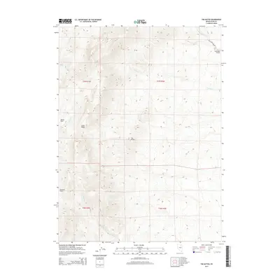
2014 Map of The Buttes
USGS Topo · Published 2014About this map
The Buttes serves as the central landmark for this high-desert landscape in Elko County, situated between the sharp elevations of the Adobe Range and the surrounding drainage basins. This modern survey illustrates the complex topography of a region defined by steep canyons and seasonal watercourses, with the Coal Mine Canyon and Jackstone Canyon cutting deep paths through the high plateaus. The presence of Coal Mine Canyon Rd provides the primary access through this remote territory, following the path of Coal Mine Cr. The map details the drainage patterns of the Dorsey Basin and various mountain streams like Twentymile Cr and Jackstone Cr, which are vital features for understanding the hydrology and land use of this section of the Great Basin.
Find a feature on this map
16 named features on this map. Tap any name to fly to it.
Don’t see what you’re looking for? This feature index may not catch every label — zoom into the map to look around manually.
Map Details
Editions of this 2014 The Buttes Map
This is the sole edition of this map. No revisions or reprints were ever made.
Other maps of this area

1955 · Wells
USGS Topo · 1:250,000

1955 · Elko
USGS Topo · 1:250,000

1958 · Wells
USGS Topo · 1:250,000

1958 · Elko
USGS Topo · 1:250,000

1961 · Wells
USGS Topo · 1:250,000

1962 · Elko
USGS Topo · 1:250,000

1962 · Kittridge Springs
USGS Topo · 1:24,000

1962 · Ryndon
USGS Topo · 1:24,000

1962 · Osino
USGS Topo · 1:24,000

1965 · Elko
USGS Topo · 1:250,000