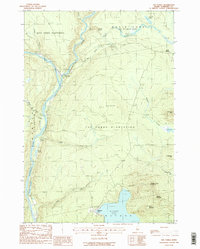
1988 Map of The Forks
USGS Topo · Published 1988About this map
The Forks sits at the dramatic confluence where the Dead River joins the Kennebec River, a historic focal point for Maine’s northern interior. This 1980s survey captures the region’s plantation-based boundaries, including The Forks Plantation, West Forks Plantation, and the unorganized township of Moxie Gore. The landscape is dominated by heavy relief, notably The Divide and the significant drop at Moxie Falls along Moxie Stream. The southern portion of the map is anchored by the large expanse of Pleasant Pond and the Appalachian National Scenic Trail as it winds over Pleasant Pond Mountain. This record preserves the location of remote landmarks such as Pooler Ponds and Martin Pond before the evolution of modern recreation and forestry infrastructure.
Find a feature on this map
30 named features on this map. Tap any name to fly to it.
Don’t see what you’re looking for? This feature index may not catch every label — zoom into the map to look around manually.
Map Details
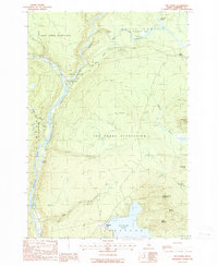
Editions of this 1988 The Forks Map
2 editions found
Other maps of this area

1903 · Bingham
USGS Topo · 1:62,500

1905 · Bingham
USGS Topo · 1:62,500

1905 · The Forks
USGS Topo · 1:62,500

1907 · The Forks
USGS Topo · 1:62,500

1925 · Pierce Pond
USGS Topo · 1:48,000

1927 · Pierce Pond
USGS Topo · 1:62,500

1928 · Dead River
USGS Topo · 1:62,500

1931 · Dead River
USGS Topo · 1:48,000

1944 · Dead River
USGS Topo · 1:62,500

1944 · Pierce Pond
USGS Topo · 1:62,500