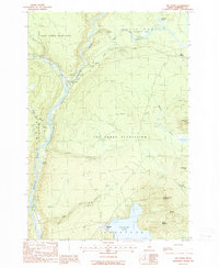
1988 Map of The Forks
USGS Topo · Published 1988About this map
The Forks sits at the dramatic confluence of the Kennebec River and the Dead River, a focal point for the timber and water-power history of Somerset County. This 1988 provisional survey captures the intersection of wilderness recreation and rural industry, featuring the Appalachian National Scenic Trail as it winds south of Pleasant Pond and Pleasant Pond Mountain. The landscape is defined by its dramatic relief, from the heights of Mosquito Mtn to the landmark Moxie Falls on Moxie Stream.
Find a feature on this map
34 named features on this map. Tap any name to fly to it.
Don’t see what you’re looking for? This feature index may not catch every label — zoom into the map to look around manually.
Map Details
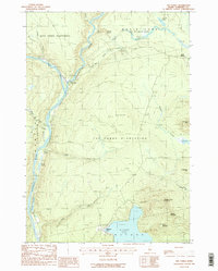
Editions of this 1988 The Forks Map
2 editions found
Other maps of this area

1903 · Bingham
USGS Topo · 1:62,500

1905 · Bingham
USGS Topo · 1:62,500

1905 · The Forks
USGS Topo · 1:62,500

1907 · The Forks
USGS Topo · 1:62,500

1925 · Pierce Pond
USGS Topo · 1:48,000

1927 · Pierce Pond
USGS Topo · 1:62,500

1928 · Dead River
USGS Topo · 1:62,500

1931 · Dead River
USGS Topo · 1:48,000

1944 · Dead River
USGS Topo · 1:62,500

1944 · Pierce Pond
USGS Topo · 1:62,500