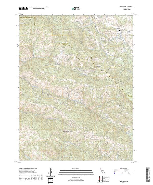
2023 Map of The Geysers
USGS Topo · Published 2023About this map
The Mayacmas Mountains dominate this 2023 survey of a geothermal-rich landscape where Lake, Sonoma, and Mendocino counties converge. The rugged topography is defined by the canyon of Big Sulphur Creek and its many tributaries, such as Little Sulphur Creek and Cobb Creek. This area is renowned for its geothermal activity, centered around the settlement of The Geysers and the nearby Mercuryville. These place names hint at the region's long history of mineral extraction and thermal energy exploitation.
Find a feature on this map
64 named features on this map. Tap any name to fly to it.
Don’t see what you’re looking for? This feature index may not catch every label — zoom into the map to look around manually.
Map Details
Editions of this 2023 The Geysers Map
This is the sole edition of this map. No revisions or reprints were ever made.
Other maps of this area

1920 · Healdsburg
USGS Topo · 1:62,500

1921 · Kelseyville
USGS Topo · 1:62,500

1927 · Calistoga
USGS Topo · 1:62,500

1933 · Healdsburg
USGS Topo · 1:48,000

1940 · Healdsburg
USGS Topo · 1:62,500

1943 · Calistoga
USGS Topo · 1:62,500

1943 · Kelseyville
USGS Topo · 1:62,500

1945 · Calistoga
USGS Topo · 1:62,500

1945 · Lower Lake
USGS Topo · 1:62,500

1947 · Santa Rosa
USGS Topo · 1:250,000