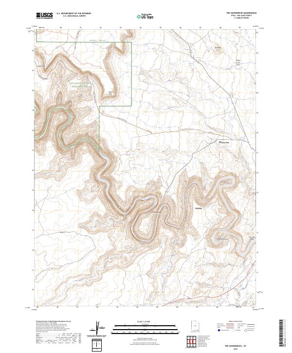
2023 Map of The Goosenecks
USGS Topo · Published 2023About this map
The Goosenecks dominate this stretch of the San Juan River in southern Utah, where the water carves deep, tight meanders through the high desert plateau. The settlement of Mexican Hat is located to the northeast, named for the nearby rock formation, while Halchita sits just south of the river’s winding course. This modern survey shows the intricate relationship between the ancient river channel and the surrounding terrain, from the Mendenhall Loop to the broad expanse of the San Juan Valley.
Find a feature on this map
23 named features on this map. Tap any name to fly to it.
Don’t see what you’re looking for? This feature index may not catch every label — zoom into the map to look around manually.
Map Details
Editions of this 2023 The Goosenecks Map
This is the sole edition of this map. No revisions or reprints were ever made.
Other maps of this area

1886 · Henry Mountains
USGS Topo · 1:250,000

1886 · Abajo
USGS Topo · 1:250,000

1892 · Abajo
USGS Topo · 1:250,000

1892 · Henry Mountains
USGS Topo · 1:250,000

1893 · Abajo
USGS Topo · 1:250,000

1952 · Bluff 3 SE
USGS Topo · 1:24,000

1952 · Clay Hills 4 SE
USGS Topo · 1:24,000
1952 · Bluff 3 SW
USGS Topo · 1:24,000

1956 · Escalante
USGS Topo · 1:250,000

1956 · Cortez
USGS Topo · 1:250,000