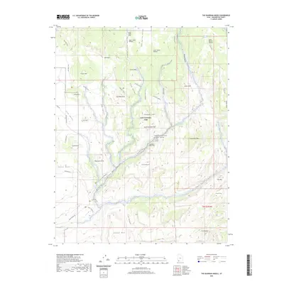
2020 Map of The Guardian Angels
USGS Topo · Published 2020About this map
Little Creek Sinks marks a unique drainage point in the high terrain of Washington County, where surface waters disappear into the subterranean limestone of the Colorado Plateau. This area, dominated by the northern reaches of Zion National Park, exhibits a landscape shaped by hydrology and geological transition. The drainage of Little Creek Valley and Oak Spring Valley provides a clear view of the natural water collection patterns that define this high-altitude environment. Researchers can trace the descent from the wooded plateaus toward the complex canyon systems below, observing how local topography dictates the movement of water across the varied elevations of the park's backcountry.
Find a feature on this map
3 named features on this map. Tap any name to fly to it.
Don’t see what you’re looking for? This feature index may not catch every label — zoom into the map to look around manually.
Map Details
Editions of this 2020 The Guardian Angels Map
This is the sole edition of this map. No revisions or reprints were ever made.
Other maps of this area

1885 · St. George
USGS Topo · 1:250,000

1886 · Kanab
USGS Topo · 1:250,000

1891 · St. George
USGS Topo · 1:250,000

1953 · Cedar City
USGS Topo · 1:250,000

1954 · La Verkin 4 NW
USGS Topo · 1:24,000

1954 · Orderville Canyon NW
USGS Topo · 1:24,000

1954 · La Verkin 1 SW
USGS Topo · 1:24,000

1958 · Cedar City
USGS Topo · 1:250,000

1962 · Cedar City
USGS Topo · 1:250,000
1980 · Kolob Arch
USGS Topo · 1:24,000