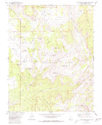
1980 Map of The Guardian Angels
USGS Topo · Published 1980About this map
Upper Kolob Plateau and Horse Pasture Plateau define the high elevations of this 1980 survey, where the dramatic geology of Zion National Park begins its descent into deep canyons and mesa formations. The quadrangle is dominated by the namesake peaks of North Guardian Angel and South Guardian Angel, separated by the high Guardian Angel Pass. The hydrological patterns are striking, with the Great West Fork and Left Fork carving through the sandstone, joined by numerous drainages like Wildcat Canyon and Russell Gulch. This map illustrates the transition from the high lava-capped mesas, such as Lava Point and Pocket Mesa, to the lower desert benches of Smith Mesa. Pack trails like the Hop Valley Trail provide the primary access through this complex vertical landscape, connecting remote points like Spendlove Knoll and the Northgate Peaks.
Find a feature on this map
55 named features on this map. Tap any name to fly to it.
Don’t see what you’re looking for? This feature index may not catch every label — zoom into the map to look around manually.
Map Details
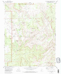
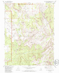
Editions of this 1980 The Guardian Angels Map
3 editions found
Other maps of this area

1885 · St. George
USGS Topo · 1:250,000

1886 · Kanab
USGS Topo · 1:250,000

1891 · St. George
USGS Topo · 1:250,000

1953 · Cedar City
USGS Topo · 1:250,000

1954 · La Verkin 4 NW
USGS Topo · 1:24,000

1954 · Orderville Canyon NW
USGS Topo · 1:24,000

1954 · La Verkin 1 SW
USGS Topo · 1:24,000

1958 · Cedar City
USGS Topo · 1:250,000

1962 · Cedar City
USGS Topo · 1:250,000
1980 · Kolob Arch
USGS Topo · 1:24,000