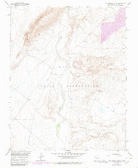
1966 Map of The Hogback South
USGS Topo · Published 1980About this map
The Hogback dominates the northwestern landscape of this San Juan County region, providing a sharp geological boundary within the Navajo Indian Reservation. This 1966 topographic study, updated with late-1970s aerial data, captures a transition in land use where traditional drainage systems like the Chaco River and Coal Creek meet industrial incursions. Evidence of resource exploration is scattered throughout the terrain, indicated by numerous Drill Holes, a specific Mine, and larger-scale Mines positioned near the ridge. Infrastructure is sparse but critical, featuring a Radio Facility perched near the high ground and several isolated Wells and a Spring providing essential water points in the arid environment. The map provides a detailed look at the Cottonwood Arroyo system, illustrating the complex erosional patterns that characterize this part of the high desert.
Find a feature on this map
11 named features on this map. Tap any name to fly to it.
Don’t see what you’re looking for? This feature index may not catch every label — zoom into the map to look around manually.
Map Details
Editions of this 1966 The Hogback South Map
2 editions found
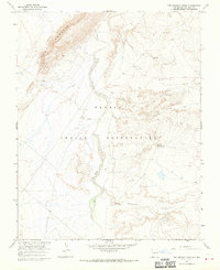
Other maps of this area

1889 · Chaco
USGS Topo · 1:250,000

1892 · Chaco
USGS Topo · 1:250,000

1927 · Sulphur Spring
USGS Topo · 1:96,000

1928 · Kirtland
USGS Topo · 1:125,000

1932 · Kirtland
USGS Topo · 1:125,000

1954 · Shiprock
USGS Topo · 1:250,000

1958 · Shiprock
USGS Topo · 1:250,000

1959 · Shiprock
USGS Topo · 1:250,000
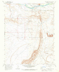
1966 · The Hogback North
USGS Topo · 1:24,000
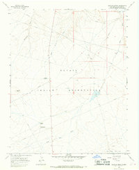
1966 · Sulphur Spring
USGS Topo · 1:24,000