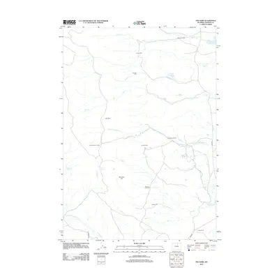
2012 Map of The Horn
USGS Topo · Published 2012About this map
The Horn rises as a prominent landmark in this section of Johnson County, anchoring a landscape defined by ranching heritage and water management. Modern cattle operations and historic family sites are scattered across the terrain, including the Simmons Homestead, Ramsbottom Ranch, and Burdick Ranch. These settlements are linked by a network of drainage systems and man-made improvements such as the Frances Ditch and Horn Creek Ditch, which redirect local flows to support the arid environment.
Find a feature on this map
31 named features on this map. Tap any name to fly to it.
Don’t see what you’re looking for? This feature index may not catch every label — zoom into the map to look around manually.
Map Details
Editions of this 2012 The Horn Map
This is the sole edition of this map. No revisions or reprints were ever made.
Other maps of this area

1900 · Fort McKinney
USGS Topo · 1:125,000

1903 · Fort McKinney
USGS Topo · 1:125,000

1955 · Sheridan
USGS Topo · 1:250,000

1955 · Arminto
USGS Topo · 1:250,000

1958 · Sheridan
USGS Topo · 1:250,000

1958 · Arminto
USGS Topo · 1:250,000

1961 · Schlict Draw
USGS Topo · 1:24,000

1961 · Hibbard Draw
USGS Topo · 1:24,000

1962 · Sheridan
USGS Topo · 1:250,000

1962 · Arminto
USGS Topo · 1:250,000