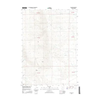
2015 Map of The Horn
USGS Topo · Published 2015About this map
The Horn rises prominently above this Wyoming landscape, defining a region where intricate drainage systems and early water management features intersect. This 2015 survey by the U.S. Geological Survey details a ranching and agricultural environment where vital water sources like Frenchy Springs, Dancehall Spring, and Red Spring are carefully noted alongside man-made improvements. The irrigation infrastructure is clearly visible through labeled features such as Horn Cr Ditch, Frances Ditch, and several water storage sites including Willow Glen Reservoir and Dwite Reservoir.
Find a feature on this map
29 named features on this map. Tap any name to fly to it.
Don’t see what you’re looking for? This feature index may not catch every label — zoom into the map to look around manually.
Map Details
Editions of this 2015 The Horn Map
This is the sole edition of this map. No revisions or reprints were ever made.
Other maps of this area

1900 · Fort McKinney
USGS Topo · 1:125,000

1903 · Fort McKinney
USGS Topo · 1:125,000

1955 · Sheridan
USGS Topo · 1:250,000

1955 · Arminto
USGS Topo · 1:250,000

1958 · Sheridan
USGS Topo · 1:250,000

1958 · Arminto
USGS Topo · 1:250,000

1961 · Schlict Draw
USGS Topo · 1:24,000

1961 · Hibbard Draw
USGS Topo · 1:24,000

1962 · Sheridan
USGS Topo · 1:250,000

1962 · Arminto
USGS Topo · 1:250,000