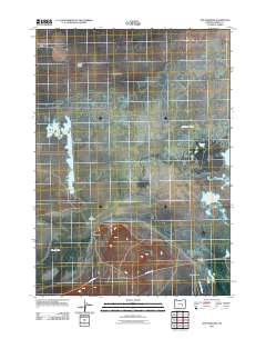
2011 Map of The Narrows
USGS Topo · Published 2011About this map
Malheur Lake and the expansive wetlands of the high desert dominate this landscape, where the waters of the Blitzen Valley meet the northern reaches of the basin. The settlement of The Narrows and the adjacent community of Narrows mark the critical land bridge between the larger lake and Mud Lake to the southwest. This geographic bottleneck has long served as a vital transit point for those navigating the arid stretches of Harney Valley and Sunset Valley.
Find a feature on this map
14 named features on this map. Tap any name to fly to it.
Don’t see what you’re looking for? This feature index may not catch every label — zoom into the map to look around manually.
Map Details
Editions of this 2011 The Narrows Map
This is the sole edition of this map. No revisions or reprints were ever made.
Other maps of this area

1955 · Burns
USGS Topo · 1:250,000

1958 · Burns
USGS Topo · 1:250,000

1959 · Burns
USGS Topo · 1:250,000

1959 · Dog Mountain
USGS Topo · 1:62,500

1959 · Lawen
USGS Topo · 1:62,500

1967 · Coyote Buttes
USGS Topo · 1:24,000

1967 · Jackass Butte NE
USGS Topo · 1:24,000

1978 · Malheur Lake
USGS Topo · 1:100,000
1980 · Southeast Harney Lake
USGS Topo · 1:24,000
1990 · The Narrows
USGS Topo · 1:24,000